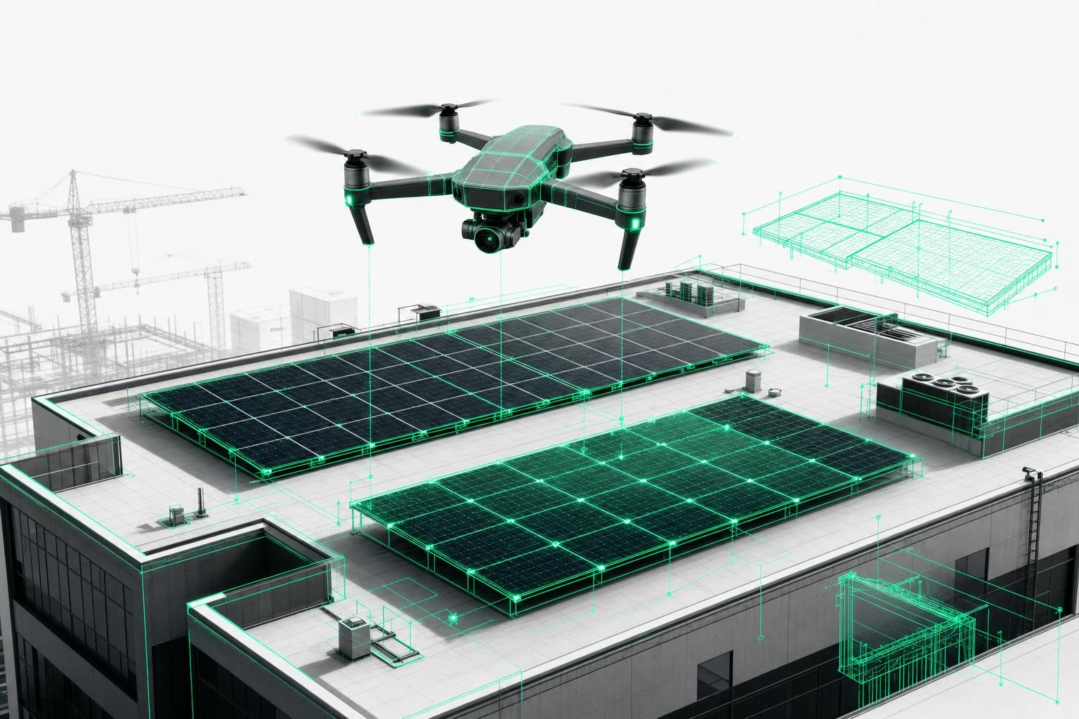
Imagine surveying a commercial roof of more than 2,000 m² - not in half a day, but in a single, fully automated drone flight. That is exactly what the DJI Matrice 4 E, combined with the Airteam Fusion platform, makes possible. Tasks that used to mean hours of ladder work can now be completed in under an hour - including a finished 3D model.
Whether you are a roofer, solar installer, or carpenter who regularly depends on precise roof measurements and professional drone surveying: the Matrice 4 E and the Airteam Max Fusion Starter Set take your processes to a whole new level. Here are the 5 most compelling reasons.
Reason 1: Mechanical shutter for distortion-free images at high speed
At the heart of the Matrice 4 E is its 20-megapixel camera with 4/3 CMOS sensor and mechanical shutter. It may sound technical, but in practice it makes a decisive difference: the mechanical shutter of the wide-angle camera is ideal for fast mapping with 0.5-second interval shots - perfect for demanding drone surveying and mapping tasks.
What this means for you: no rolling shutter effect, no blurred images at high flight speeds. The result is geometrically accurate imagery that the AI in the Airteam Fusion platform converts into precise 3D models. It is the ideal foundation for standards-compliant roof measurements and professional 3d drone mapping workflows.
Reason 2: 5-direction oblique capture - more data in less time
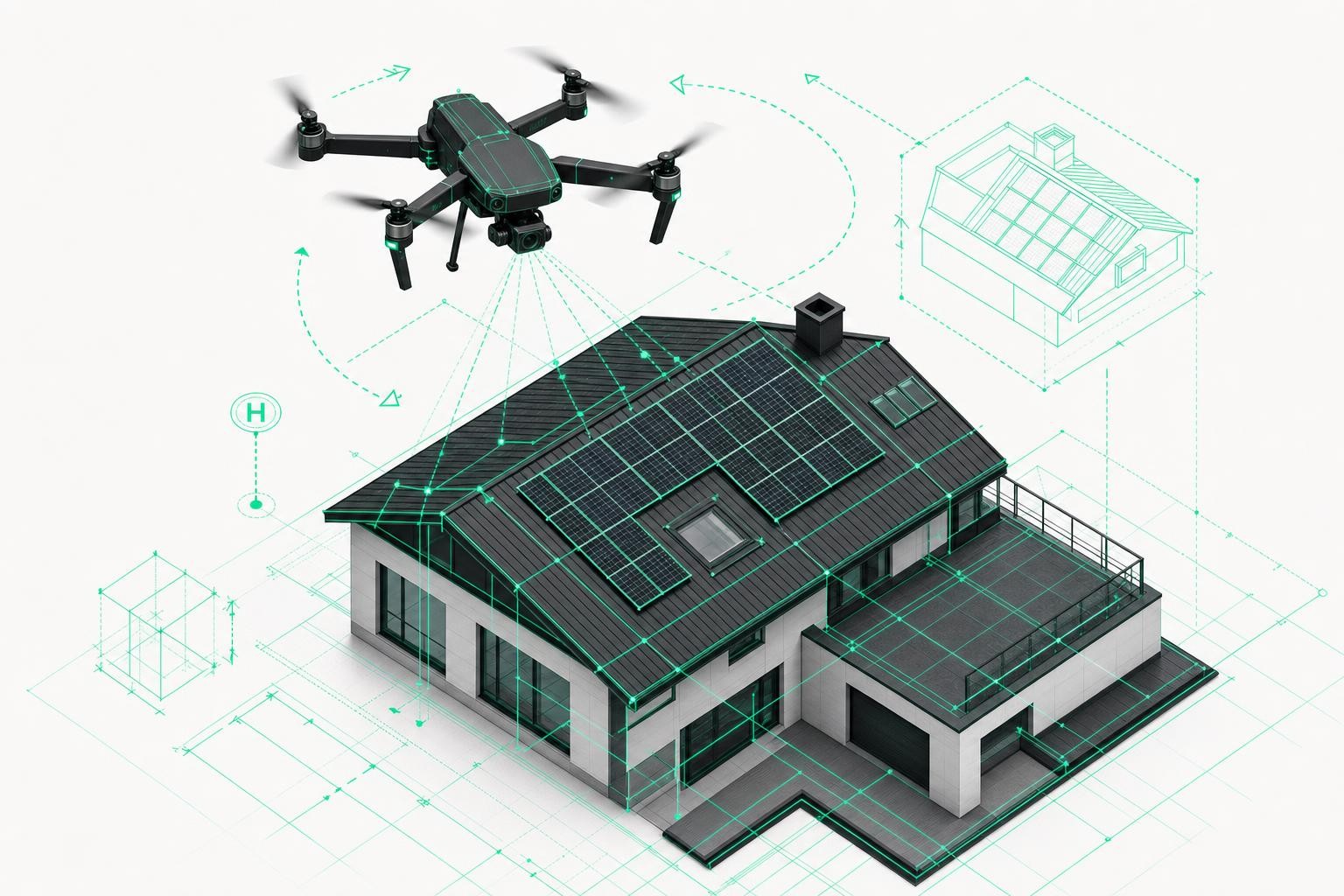
Complex roofs with dormers, bays, or irregular structures have always been a challenge for any surveying drone. The Matrice 4 E solves this with an innovative feature: 5-direction oblique capture increases mapping efficiency by up to 40% compared to 3-direction capture and enables detailed 3D reconstructions in a single flight.
The result: you fly once and receive data from five viewing angles at the same time. Supported by the Smart 3D Capture function, 3D recordings of complex buildings become much more efficient as well: a rough model is created directly on the remote controller, and based on this, precise flight paths close to the building surface are automatically generated.
Reason 3: Up to 2.8 km² per flight - perfect for large projects
For industrial facilities, factory roofs, or large-scale solar parks, smaller drones are simply not enough. The Matrice 4 E is specifically designed for these large-scale drone surveying projects: in a single flight, it can cover mapping tasks over an area of up to 2.8 square kilometers.
With a flight time of up to 46 minutes and a flight speed of up to 21 m/s, you save not only time but also resources. Fewer battery changes, fewer flights, less effort - and more projects per day.
| Feature | Specification | Benefit for surveying |
|---|---|---|
| Camera sensor | 20 MP, 4/3 CMOS, solid-state shutter | Sharp, distortion-free images even at high flight speed |
| Capture interval | 0.5 seconds | High-speed mapping in the shortest possible time |
| Flight speed | up to 21 m/s | Cover large areas in a single flight |
| Flight time | up to 46 minutes | Fewer battery changes, more efficiency on the construction site |
| Coverage per flight | up to 2.8 km² | Ideal for commercial, industrial, and solar parks |
| RTK module | Centimeter-accurate positioning | Highest measurement accuracy without ground control points |
| 5-axis oblique capture | 40% more efficient than 3-axis | Complete 3D models in a single flight |
| Obstacle avoidance | Omnidirectional | Safe flying even in complex environments |
Reason 4: RTK module for centimeter-level positioning
In skilled trades, precision is not a luxury - it is the foundation for accurate quotes, safe planning, and smooth installation. The Matrice 4 E can be equipped with an RTK (Real-Time Kinematic) module that delivers centimeter-level positioning data. This level of accuracy makes the drone ideal for terrain surveys, boundary marking, and construction site planning.
In combination with the Airteam Fusion platform, this enables 3D building surveys with standards-compliant accuracy - without the need to set ground control points. That saves time and simplifies the entire workflow of 3d drone mapping and construction documentation.
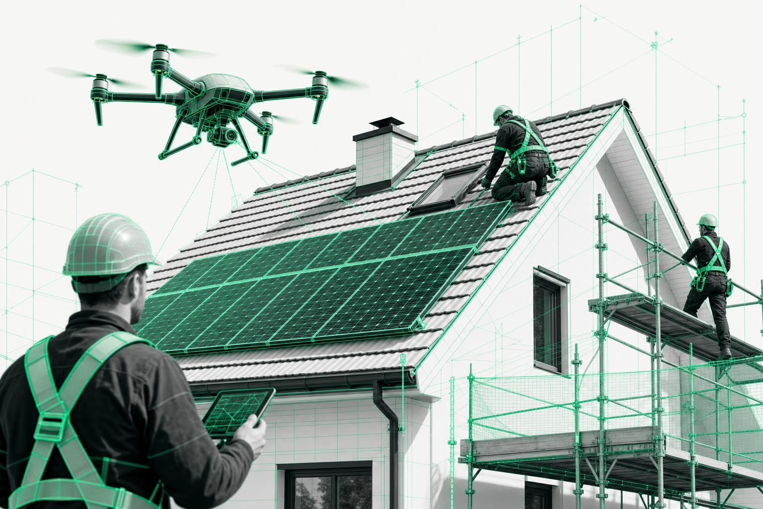
Reason 5: Omnidirectional obstacle detection for safe flying in tight spaces
Confined industrial sites, densely built-up city centers, or construction sites with cranes and scaffolding: many drone surveying situations are demanding. Thanks to AI-assisted obstacle detection and automated flight routes, the Matrice 4 E increases safety and streamlines operations.
The omnidirectional sensors detect obstacles in all directions and adjust the flight path in real time. For you, that means reduced accident risk and more confidence when flying - even in unfamiliar environments.
The Airteam Max Fusion Starter Set: everything from a single source
The DJI Matrice 4 E on its own is a powerful surveying drone. Combined with the Airteam Max Fusion Starter Set, it becomes a complete solution for professional building surveying and 3d drone mapping. The set includes:
- DJI Matrice 4 E with optional RTK module
- Pro controller with integrated display
- 2 spare batteries + charger for long operations
- Rugged transport case for the job site
- Airteam Fusion software for automatic 3D model generation
- Professional training (online or on site)
- 2 months of Airteam flat rate included free (value approx. €2,400)
All-inclusive: The Airteam Max Fusion Starter Set includes, in addition to the DJI Matrice 4 E with RTK module, a Pro controller, 2 spare batteries, a transport case, professional training, and 2 months of Airteam flat-rate for free (worth about €2,400). This means you'll be ready to go the next day - no CAD experience required.
You are ready to go the very next day - with no CAD knowledge required. The Airteam Fusion platform automatically processes your drone images into standards-compliant 3D models, which you can export in more than 15 formats and use directly in PV*SOL, AutoCAD, SEMA, or Scaffmax.
Conclusion: The Matrice 4 E is the pro-level drone for demanding surveying tasks
Not every project needs the most powerful surveying drone - but if you regularly survey large areas, complex structures, or challenging commercial projects, the DJI Matrice 4 E is the right choice. Its mechanical shutter, RTK module, 5-direction oblique capture, nearly 50 minutes of flight time, and omnidirectional safety features make it the most reliable surveying drone in its class.
In combination with the Airteam Fusion platform, a single drone flight turns into a finished, certified 3D model in less than 24 hours - ready for your next quote. Innovative trade and construction companies are already proving that those who rely on digital drone surveying gain time, safety, and a real competitive edge. Take a look at our success stories to see what is possible in practice.
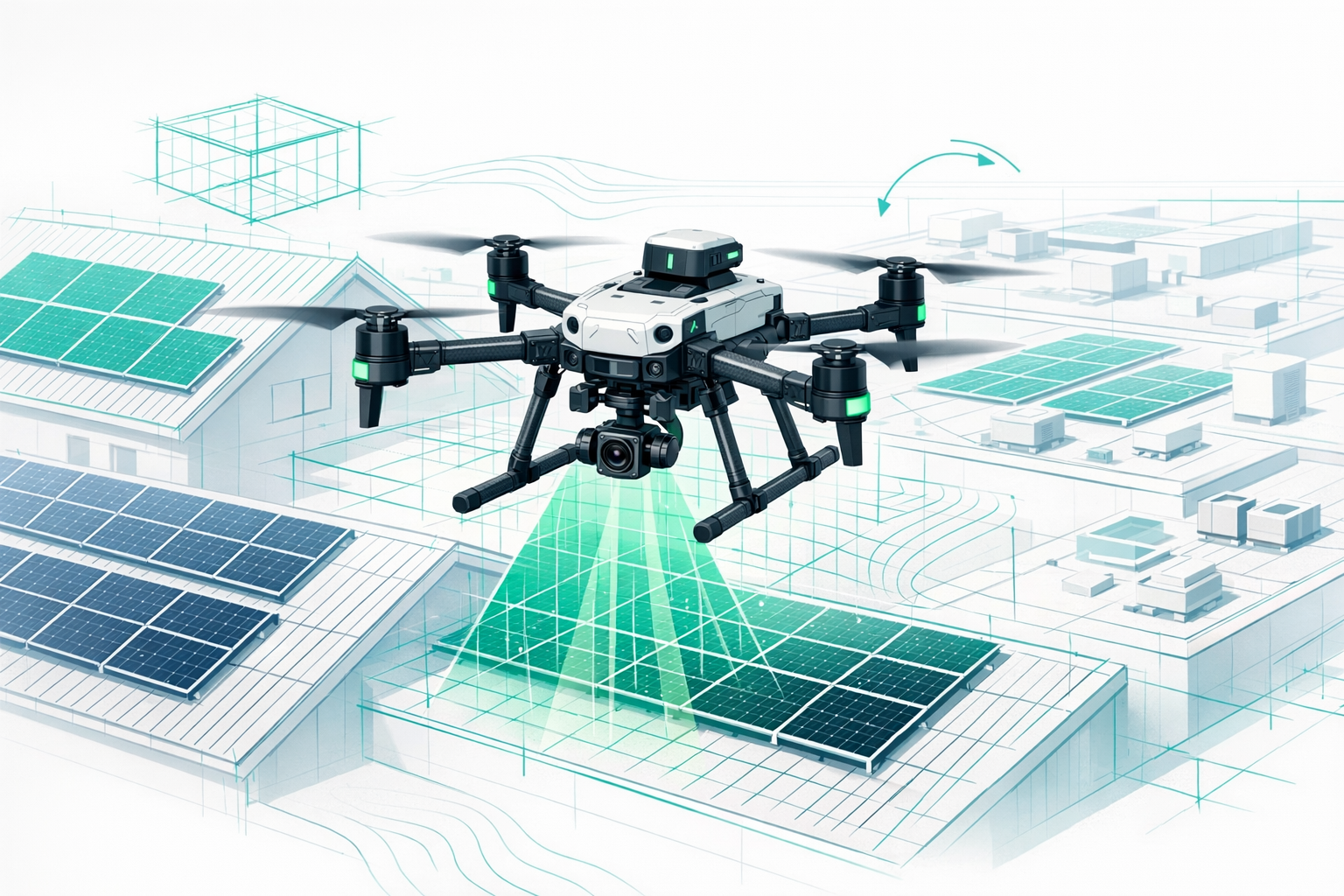
The image shows a four-rotor drone with the rotors arranged in a cross pattern. The drone has a gray housing and a camera unit mounted on the front. The propeller blades are black with orange markings at the tips.