Professional drone footage has become a standard part of efficient project delivery in German construction trades, the solar industry, and real estate in 2026. Around 45,000 drones are in commercial use in Germany - more than double the number in 2019[1]. The most in-demand applications are surveying, inspection, and construction documentation.
This guide is for you if, as a roofer, solar installer, carpenter, scaffold builder, or real estate professional, you want to use commercial drone footage - for example, for roof surveying, PV planning, facades, thermography, or construction documentation. Private aerial photos of your own home are only touched on briefly; the focus is on tools and services you can use repeatedly and in full legal compliance when working for clients.
Quick Overview: Our Recommendations for 2026
Short version for busy readers - best solutions by use case:
- Best all-round package for trades (roofing, PV, facade): Airteam Fusion Platform
AI-powered 3D building modeling, DIN-certified measurements, German-language support, flat rates and credits. Ideal if you regularly survey roofs or facades and want to process the data directly in PV or CAD software.[2] - Cloud platform for international construction and infrastructure projects: DroneDeploy
Powerful reality capture platform focused on construction progress, volumes, inspections, and collaboration - aimed at larger construction companies with in-house surveying teams.[3] - Photogrammetry suite for surveyors and GIS professionals: Pix4Dmapper / Pix4Dcloud
Highly flexible, technically sophisticated software for complex maps and 3D models - particularly relevant for surveying firms.[4] - Full service with an in-house pilot: Drohnen Service Deutschland (DSD) & regional drone services
Suitable if you do not (yet) want to purchase your own drone and only need occasional thermography, inspection, or aerial photography services.[5]
If your main focus is surveying roofs, PV systems, and facades, Airteam usually offers the most direct workflow - you will see why in more detail below.
What Do You Actually Need? Separate Use Cases Clearly
Before comparing tools, you should define which type of drone footage you primarily need:
Surveying and 3D building modeling
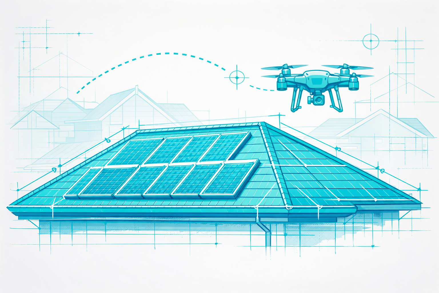
- Roof surveying for quotes, VOB billing, material ordering
- PV planning with shading analysis and module layout
- Facade measurements for scaffolding, refurbishment, BIM
According to market studies, surveying is one of the most common industrial drone applications in Germany, as time pressure is high and margins are tight[1].
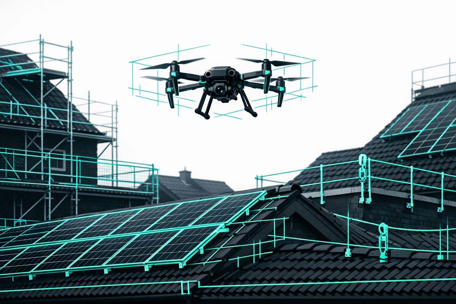
Inspection and thermography
- Visual and thermal inspections of PV systems
- Roof and facade checks, building thermography
- Documentation for insurers, expert reports, maintenance planning
Aerial imagery and marketing / drone photography
- Brand videos, real estate listings, construction progress documentation
- Classic aerial photos for social media and websites
In practice, you often combine several use cases - for example, precise digital measurements plus compelling aerial imagery. The key question is whether your tool only delivers attractive images or also provides measurable, DIN-compliant data.
Key Decision Criteria for Professional Drone Footage
1. Data Quality and Accuracy
- For quotes, VOB/C billing, and PV planning, you need centimeter-accurate and traceable measurements.
- With Airteam, depending on the drone, you can achieve DIN-certified accuracy of up to 99.9% with 1-3 cm tolerance at a flight altitude of 40 m[2].
- Standard camera drones may deliver great images, but without specialized processing they do not provide reliable measurement data.
2. Workflow and Integrations
- Can you export data into your existing software (e.g., PV*SOL, Eturnity, MF Dach, SEMA, Scaffmax, AutoCAD)?
- Can the entire process from flight to finished measurements be handled within a single cloud application? Or do you need to juggle several tools?
3. Legal and Safety Requirements (Differences Between Federal States)
- Commercial drone flights in the EU are governed by the EU Drone Regulation (Regulation 2019/947) with open categories A1-A3; for many operations with drones over 250 g you need at least the EU A1/A3 certificate of competency, and for more complex operations the A2 remote pilot certificate[6].
- Minimum distances from residential areas, nature reserves, and industrial sites are specified by the state aviation authorities and in some cases municipalities - the exact rules vary from one federal state to another.
- U-space projects (for example, the UAS-Leitstelle Bremen) show that some regions are already introducing additional airspace regulations.[7]
4. Service, Training, and Support
- Do you get training for flying and for the end-to-end workflow, or just access to the software?
- Is there German-language support, including templates, sample projects, and a help center?
5. Pricing Model
- One-off purchase software vs. flat rate/subscription with predictable monthly costs.
- Pay-per-project vs. unlimited use.
- Do you also need pilot services because you do not want to fly yourself?
The Most Important Tools and Services in Detail
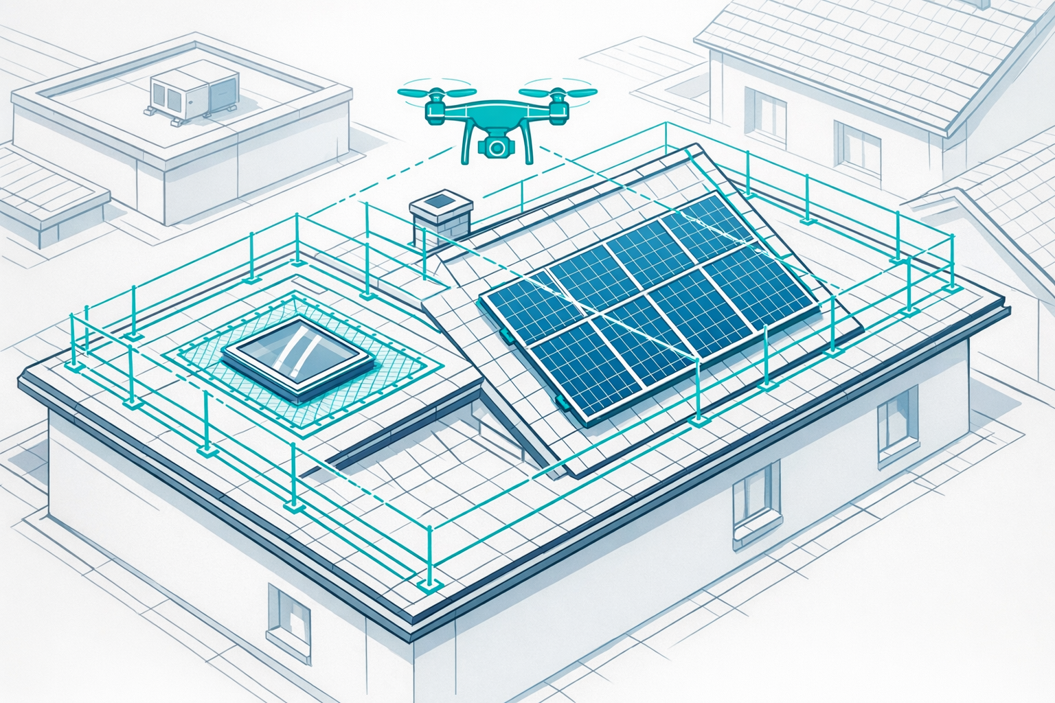
1. Airteam - Standard Tool for Roof, PV, and Facade Surveying in Germany
Short description
Airteam is an AI-powered cloud platform for 3D building modeling and digital measurements based on drone footage - optimized for trades, solar companies, and construction in Germany, Austria, and Switzerland. A single drone flight automatically generates 3D models, roof and facade measurements, PV data, and CAD exports.[2]
Advantages
- DIN-certified precision: 3D models and measurements with up to 99.9% accuracy and 1-3 cm tolerance at 40 m flight altitude - ideal for legally robust quotes and billing[2]
- Massive time savings: In practice, drone-based surveying saves up to 90% of the time compared to traditional methods[2].
- Industry-specific workflows: Ready-made evaluation templates for roofers, solar installers, carpenters, scaffolders, and real estate, including export to common industry software.
- Flat rates and credits: Fast/Pro/Max/Ultra Fusion flat rates cover unlimited 3D models for areas of 300-5,000 m²; additional credits extend the area or provide extra planning data such as PV reports[8].
- Pilot network and starter kits: Hardware (e.g., DJI drones), training, software access; Airteam pilots are available on request if you do not want to fly yourself.[9]
Disadvantages
- Strong focus on building and surface surveying - for pure brand videos or film productions you may need additional tools.
- Cloud-based: for sensitive projects with strict internal IT policies, SaaS usage has to be coordinated.
Best suited for
- Roofers, solar installers, carpenters, scaffold builders, property owners and managers
- Companies that need standardized digital measurements for quoting, planning, and installation
- Businesses that want to cover PV planning, roof surveying, and facades in one continuous workflow
Pricing (as of early 2026)
- The "Fast Fusion" flat rate starts at around €150/month and is suitable for smaller companies with frequent single-family home projects[10].
- Starter kits including drone, training, and flat rate range from around €1,950 (Fast Fusion Set) to €7,450 (Thermal Fusion Set) plus VAT, depending on the package[9].
- A 14-day trial with full functionality is available.[11]
The fastest way into digital building and PV surveying is a starter kit plus flat rate. For a concise hands-on overview, see the guide Roof Surveying with Drones: 90% Faster and DIN-Compliant.
2. DroneDeploy - Cloud All-Rounder for Construction and Infrastructure
DroneDeploy is an international reality capture platform for drone footage, 2D maps, 3D models, and inspection reports - widely used in construction, energy, and agriculture.[3]
Advantages
- Mature cloud platform focused on project management and team collaboration.
- Extensive integrations (e.g., Procore, Autodesk) - ideal for large construction projects.[12]
- Dedicated workflows for solar, roofing, and insurance inspections.[13]
Disadvantages
- Interface and reports are not specifically tailored to German trades businesses.
- Entry-level prices, depending on the plan, are typically in the low to mid three-digit US dollar range per month (around €349/month for a Construction plan)[12], often too high for smaller firms.
- Legal requirements (DIN-compliant measurements, VOB/C) must be implemented independently.
Best suited for
- Larger construction companies and international teams that need project tracking, volume calculations, and reporting.
- Businesses with in-house surveying or GIS expertise.
3. Pix4Dmapper / Pix4Dcloud - Photogrammetry for Surveying Professionals
Pix4D is one of the established photogrammetry suites, designed for surveying firms, engineers, and GIS teams.[4]
Advantages
- Very high model quality with well-planned flights and accurate GCPs (ground control points).
- Many modules (Mapper, Fields, Survey, Cloud) for different industries.
- Strong integration into GIS systems.
Disadvantages
- Complex interface and steep learning curve - difficult to use without prior experience.
- Full versions of Pix4Dmapper typically cost €3,500-€4,000 per year and per license[14], plus your own hardware.
- No trade-specific workflows for roofs or PV; exports have to be adapted manually.
Best suited for
- Surveying firms, engineering companies, GIS service providers
- Businesses with in-house CAD/GIS expertise and a need for maximum flexibility
4. Drohnen Service Deutschland and Regional Drone Services - Hire a Pilot Instead of Flying Yourself
If you do not (yet) want to operate your own drone or only handle occasional projects, using an external drone service provider is a good option.
Example 1: Drohnen Service Deutschland (DSD)
DSD specializes in PV inspections, building inspections, and industrial facilities - including thermography and aerial photography.[5]
Example 2: PS Drohnenservice (Central Hesse region)
PS Drohnenservice combines thermal inspections, building imaging, and 3D models and publishes transparent reference prices: smaller jobs (e.g., individual roofs or small PV systems) typically cost €250-€500, while 3D models for single-family homes start at €250-€350[15].
Advantages
- No need to invest in your own drone (hardware, insurance, training).
- Ideal for one-off projects, specialist tasks, or as a temporary solution.
Disadvantages
- Dependent on the service provider (appointments, availability).
- Survey and PV data often do not end up in your own cloud environment; post-processing is frequently manual.
- With regular use, typically more expensive than your own setup with cloud software plus drone.
Best suited for
- Companies with only a few drone-relevant projects per year
- Initial pilot projects - to test the concept before you invest yourself
Comparison Table: Airteam vs. Alternatives in 2026
| Solution | Type | Primary Focus | Accuracy and Data | Price Level (approximate) | Best suited for |
|---|---|---|---|---|---|
| Airteam Fusion | AI cloud + service | Roof/PV/facade surveying, 3D models | DIN-certified, up to 99.9% | Flat rate from approx. €150/month; starter kits from ~€1,950 | Trades, solar, construction, real estate |
| DroneDeploy | Cloud reality capture | Construction progress, volumes, inspection | High, depends on setup | Usually $300-$600/month | Large construction/infrastructure projects |
| Pix4Dmapper/Cloud | Photogrammetry suite | Surveying, GIS, research | Very high, GCP-based | Approx. €3,500-€4,000/year per license | Surveying firms, GIS teams |
| Drohnen Service DE/Regional | Service with pilots | PV thermography, building inspection, aerial imagery | Depends on provider | Individual projects typically €250-€1,000+ | Occasional use, pilot projects |
(Prices: as of 2025/early 2026, subject to change without notice.)
Which Solution Fits Your Business? Practical Recommendations
You want to establish roof and PV surveying in your own company:
-> Start with an Airteam starter kit (e.g., Fast or Pro Fusion) and a flat rate. Hardware, training, and cloud software from a single source - fully productive within a few days. Try it for 14 days at Test Airteam for 14 Days Free and Without Risk.You work on larger or complex projects (residential developments, industrial sites, solar parks):
-> Use Airteam for building surveying and, if needed, additional specialist software (e.g., BIM tools), or upgrade your flat rate with more credits for larger areas and additional planning data.You are a surveying or engineering firm with a GIS focus:
-> Pix4D or similar photogrammetry suites make sense - Airteam can complement them if you also want to provide standardized roof/facade measurements for trade clients.You only use drone footage occasionally:
-> Start by hiring a drone service (e.g., DSD or regional providers). As your demand grows, investing in your own setup with Airteam becomes increasingly cost-effective.
You can find more information on PV planning in the software comparison: PV Planning Software 2025: Top 5 Compared.
FAQ on Professional Drone Footage in 2026
Do I always need a drone license for professional drone footage?
For commercial flights with drones over 250 g, you generally need at least the EU A1/A3 certificate of competency; for many operations near people and buildings you also need the A2 remote pilot certificate. Details are defined in the EU Drone Regulation 2019/947 and specified by the German Federal Aviation Office and the state aviation authorities[6]. For special cases (e.g., flights over crowds, BVLOS operations), additional permits may be required.
Are there differences between federal states?
Yes. The EU rules apply nationwide, but detailed regulations and permitting procedures (e.g., for flights in protected areas, over state roads, in major cities) are implemented by the individual federal states and in some cases by cities and municipalities. Some states have general permits for certain types of drone operations, while others require more individual permits.[16]
Own drone plus software, or hire a drone service?
- Own drone + Airteam: Pays off as soon as you regularly survey roofs, PV systems, or facades. You lower your cost per project, keep full control of your data, and prepare quotes faster.
- External drone service: Sensible for rare projects or if nobody in-house can fly. Over the long term, usually more expensive and less flexible.
Which drones are suitable for surveying and PV planning?
In day-to-day trade use, DJI Enterprise models with at least a 20 MP sensor and optional RTK have proven their worth, such as the DJI Mavic 3 Enterprise or the Matrice series. Airteam uses these models in its Pro and Max starter kits and generates DIN-compliant 3D models using AI-based photogrammetry.
How is Airteam different from pure drone photogrammetry software?
Classic photogrammetry programs like Pix4D or Metashape provide raw data: point clouds, orthophotos, meshes. For trades businesses, that means a lot of manual work to extract roof areas, structures, or module fields.
Airteam automatically detects roof surfaces, structures, and components, creates DIN-compliant measurement reports, and exports directly into your planning software. For you, that means fewer clicks, fewer errors - and quotes prepared in hours instead of days.
Test Airteam with your own aerial imagery or sample projects during the 14-day trial: Test Airteam for 14 Days Free and Without Risk.