If you're a roofer or solar installer getting started with drone surveying, you almost inevitably end up looking at the DJI Mavic 3 Enterprise series. And that quickly raises the question: Mavic 3 Enterprise C1 (M3E) or Mavic 3 Thermal Advanced C1 (M3T)?
In this comparison, we'll show you which drone is better for standards-compliant roof surveying and which is better for building thermography - and why it's worth taking a close look at the sensor, shutter, and RTK technology.
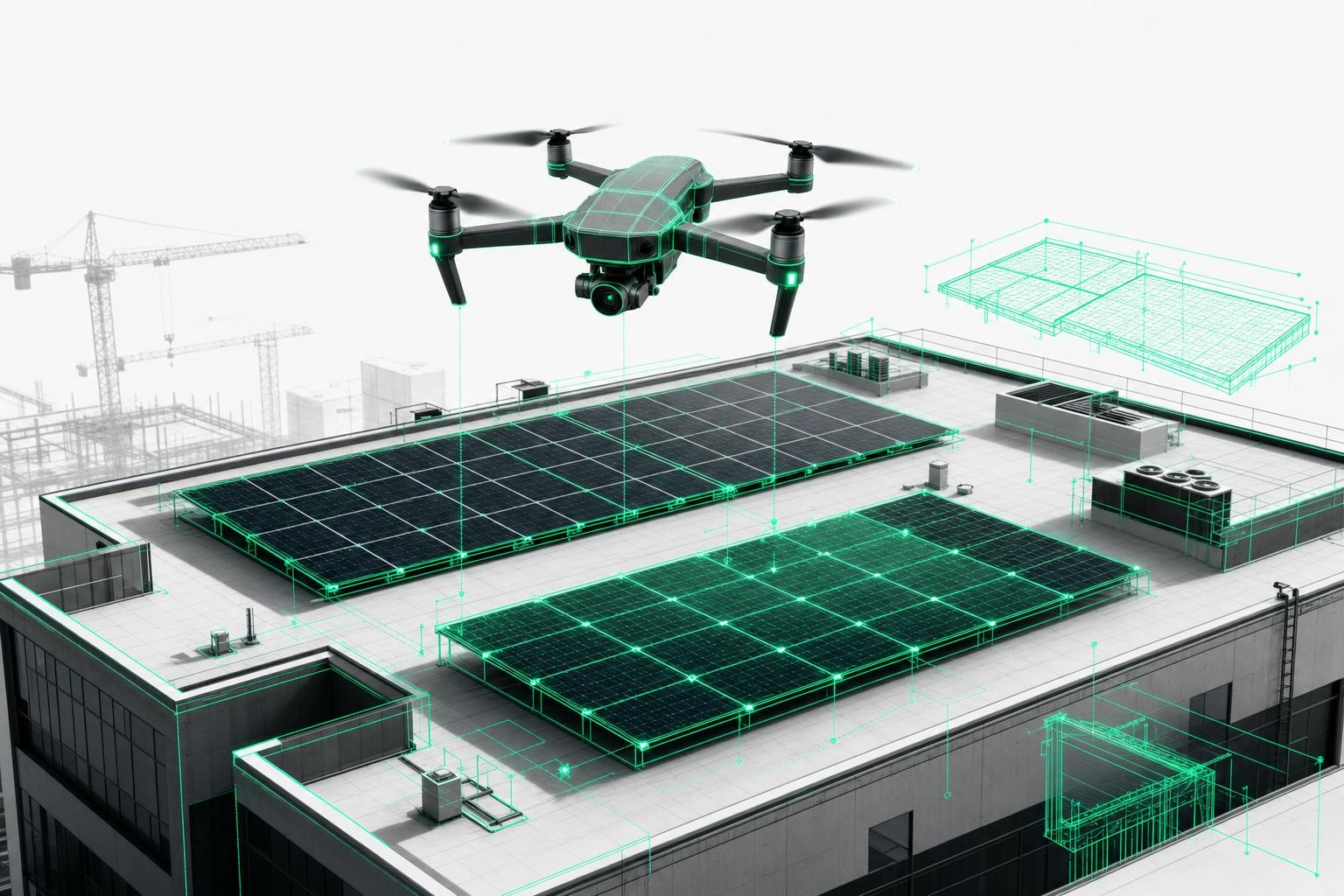
1. What roofers really need from drone surveying
For professional drone-based roof surveying, three key metrics matter more than anything else:
- Survey accuracy: For compliant quotes under the German Construction Contract Procedures (VOB), PV system design, and material orders, you need accurate measurements. With the RTK module you can achieve maximum accuracy - combined with AI photogrammetry, you get standards-compliant 3D models with centimeter-level precision.
- Time savings: A 5-15 minute drone flight replaces 2-4 hours of manual roof measurement - in practice, companies save up to 90% of the time typically spent on measurements.
- Safety: No ladders, no risk on wet tiles - all data is captured safely from the ground.
On top of that, you have integration into existing software (PV*SOL, Eturnity, SEMA, Scaffmax, MF Dach), which Airteam supports with over 25 export formats.
With that in mind, let's look at how the DJI Mavic 3 Enterprise C1 and DJI Mavic 3 Thermal Advanced C1 perform.
2. DJI Mavic 3 Enterprise C1 (M3E): The precision tool for roof surveying
The DJI Mavic 3 Enterprise C1 is designed as a surveying drone - and that's exactly how Airteam uses it in its Pro Fusion starter kits.
Key strengths for roof surveying:
- 24 MP camera sensor with a large sensor and high image sharpness
- Mechanical shutter: Prevents rolling-shutter distortion and delivers clean orthophotos - crucial for forward-flight mapping missions.
- RTK module (optional): Real Time Kinematic takes your survey accuracy to the highest level and enables standards-compliant 3D building models with centimeter precision.
- Flight time of around 36-46 minutes depending on battery version - enough to capture even large sites in a single flight.
- C1 certification: Operation in category A1; in many cases, the small EU A1/A3 drone license is sufficient - less red tape, more possible use cases.
What does that mean in practice?
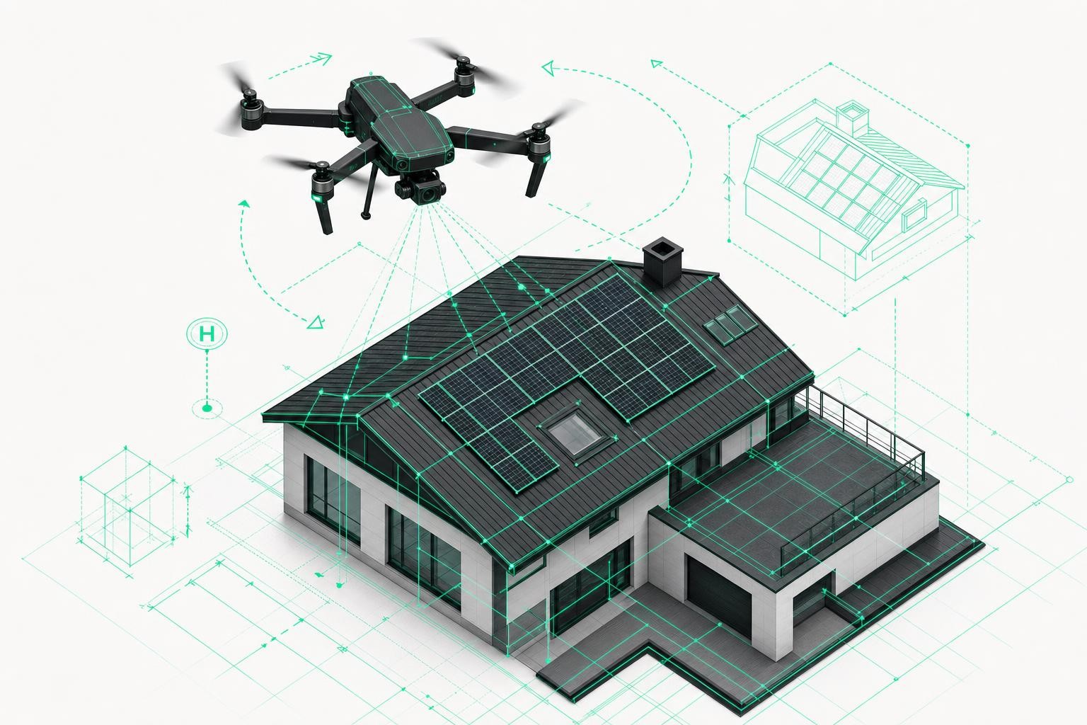
- With the M3E, correct planning in the Airteam app and sufficient image overlap will give you precise measurement data for roof surveys - including valleys, ridges, dormers, and roof structures.
- The data is standards-compliant and suitable for VOB/C billing, PV design, and carpentry CAD.
- Ideal for companies that regularly survey roofs larger than 500 m², as well as commercial/industrial buildings, residential portfolios, and similar projects.
Clear recommendation:
If your main task is roof surveying and 3D modeling, the DJI Mavic 3 Enterprise C1 is the right tool. Choose the M3E if you need exact dimensions, takeoff measurements, or 3D models, for example to measure a roof in advance before you prepare a quote for new insulation or a PV system. It delivers the best image quality for mapping.
3. DJI Mavic 3 Thermal Advanced C1 (M3T): The thermography specialist
The DJI Mavic 3 Thermal Advanced C1 is built on the same platform but combines a photo camera with a thermal imaging camera - making it perfect for inspections.
Key strengths for thermography and inspection:
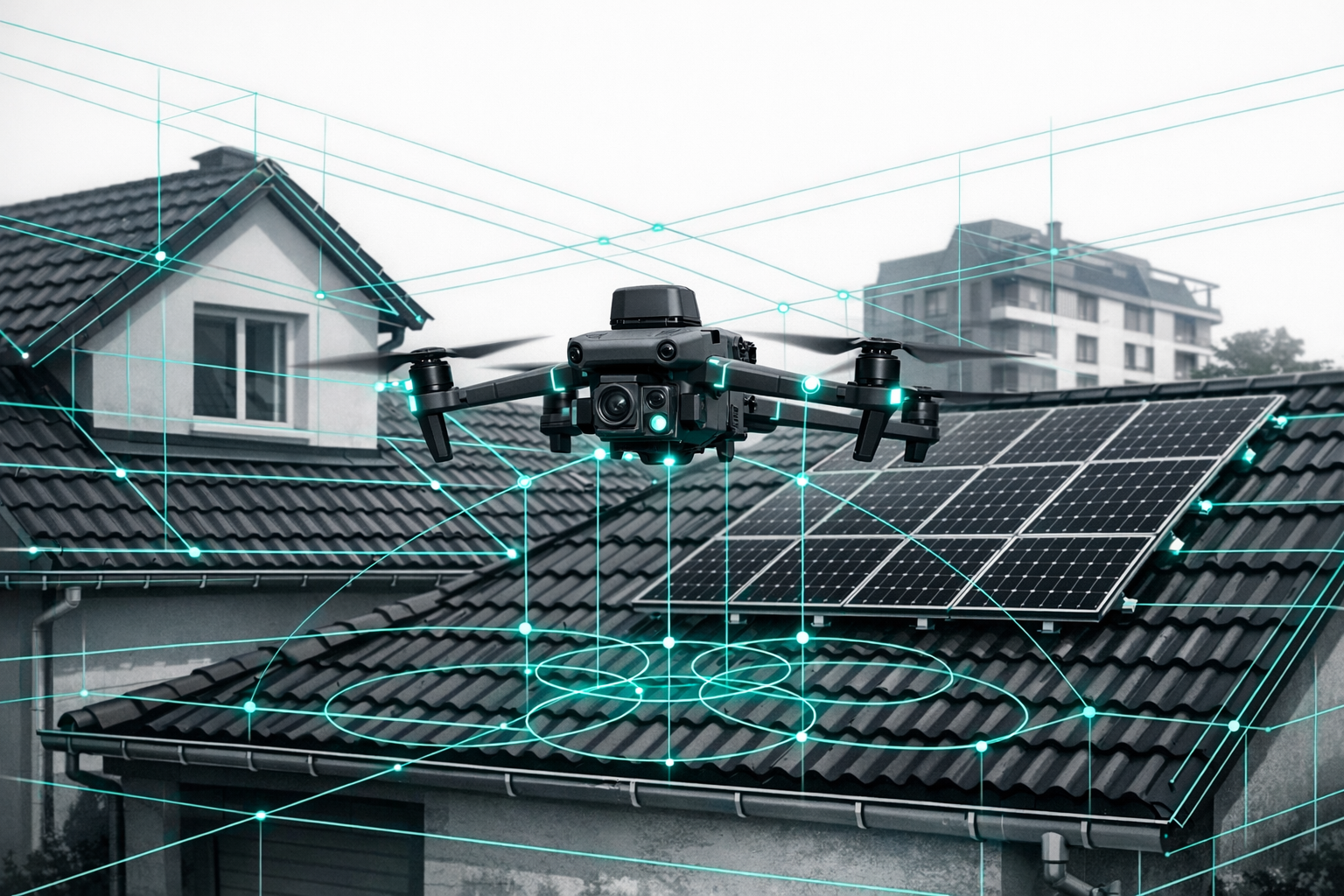
- 48 MP wide-angle camera plus high-resolution thermal camera with 640 × 512 pixels - recommended by Airteam as premium equipment for roof inspections.
- Thermography: Ideal for detecting thermal bridges, moisture damage, leaks, and overheated PV modules.
- C1 certification and RTK option similar to the M3E - legally just as flexible in most cases.
How good is the M3T for roof surveying?
In principle, you can also use the Mavic 3 Thermal Advanced C1 for conventional drone surveying:
- The higher pixel count helps you capture more detail.
- However, the wide-angle camera uses an electronic shutter and a smaller sensor than the M3E.
- As a result, the M3T is well suited for rough volume or area estimates and basic 3D models - but for standards-level quantity calculations and maximum detail accuracy, we do not recommend it as your primary surveying system.
Clear recommendation:
Choose the M3T if your priority is to quickly locate hidden issues such as heat loss, leaks, or defective cells in a solar array. If thermography is your main use case (leak detection, energy retrofit assessments, PV inspections), the DJI Mavic 3 Thermal Advanced C1 is the best choice. It often saves you tedious and time-consuming manual searches.
4. Head-to-head: Mavic 3 Enterprise C1 vs. Mavic 3 Thermal Advanced C1 for roof surveying
| Criterion | DJI Mavic 3 Enterprise C1 | DJI Mavic 3 Thermal Advanced C1 |
|---|---|---|
| Main use | Precise surveying, 3D models | Thermography, inspection |
| Best image quality for | Mapping & roof surveying | Thermal analysis & leak detection |
| Camera sensor | 24 MP, larger sensor | 48 MP, smaller sensor + thermal camera |
| Shutter | Mechanical (optimized for mapping) | Electronic (rolling shutter) |
| Thermography | No | Yes, 640 × 512 high-resolution thermal camera |
| C1 certification | Yes (A1/A3 sufficient) | Yes (A1/A3 sufficient) |
| Typical target users | Roof surveying, PV design, scaffolding | Roof inspection, energy assessments |
In short:
- For roof surveying, quantity takeoff, PV layout, scaffolding planning -> Mavic 3 Enterprise C1
- For thermography, leak detection, energy retrofit work -> Mavic 3 Thermal Advanced C1
- If you need both, you'll have to decide whether maximum mapping accuracy or thermography has higher priority - or combine two platforms and/or use the Airteam pilot network.
5. Common customer question: Is the Matrice 4T really that much worse for standard 3D models?
Airteam customers often ask whether the DJI Matrice 4T is significantly worse for 3D models compared to dedicated surveying models.
Here's the technical breakdown:
- The wide-angle camera on thermal variants (applies similarly to the M3T and the Matrice 4T):
- has a smaller sensor
- only uses an electronic shutter
- is primarily designed for inspection and thermography, not for large-scale, high-precision surveying.
To put it plainly:
Thermal drones are not optimized for large, highly professional surveying projects, but they can definitely be used for 3D models if you operate them correctly:
- Fly slowly to minimize rolling-shutter effects
- Plan for high image overlap (front and side overlap)
- Maintain constant speed and altitude
Used this way, you can achieve usable models for documentation and rough measurements, but not the precision and detail of an M3E for professional mapping.
6. Which drone is the right fit for your business?
Scenario A: Focus on roof surveying and PV design
- You regularly prepare VOB-compliant quotes, PV layouts in PV*SOL/Eturnity, or design timber constructions in SEMA.
- Incorrect measurements lead to rework, extra costs, and issues on site.
- You need exact measurements and 3D models to capture a roof before you quote for new insulation or a PV system.
Recommendation:
- DJI Mavic 3 Enterprise C1 - best image quality for mapping and centimeter-accurate drone surveying
- In combination with the Airteam Fusion platform, you receive a standards-compliant 3D model within 24 hours, including a measurement report and all relevant export formats.
Scenario B: Focus on thermography and roof inspection
- You want to offer roof inspections as a service, document moisture damage and thermal bridges, and thermographically inspect PV systems.
- You need to quickly locate hidden defects such as heat losses, leaks, or faulty cells in a solar installation.
Recommendation:
- DJI Mavic 3 Thermal Advanced C1 - thanks to its high-resolution thermal camera, it's ideal for leak detection, energy assessments, and PV inspections.
- It often saves you lengthy and labor-intensive manual searches.
Scenario C: You want both - precise roof surveying and thermography
Options:
Start with the M3E + Airteam for safe, high-precision roof surveying, and add thermography later via:
- your own upgrade (a second drone), or
- the Airteam pilot network if you only occasionally perform thermography.
Or start with the M3T if thermography is at the core of your business model and use it additionally for basic 3D documentation.
7. Short FAQ
Which drone is better for roof surveying - DJI Mavic 3 Enterprise C1 or DJI Mavic 3 Thermal Advanced C1?
For roof surveying and 3D measurement, the DJI Mavic 3 Enterprise C1 has a clear edge. It delivers the best image quality for mapping and is optimized for standards-compliant surveying workflows. Choose the M3E if you need exact dimensions, takeoff measurements, or 3D models.
Can I use the DJI Mavic 3 Thermal Advanced C1 for roof measurement?
Yes, you can use the DJI Mavic 3 Thermal Advanced C1 to process roof images photogrammetrically and create 3D models for documentation and rough measurements. However, its sensor and electronic shutter are not primarily optimized for large-scale, high-precision surveying. For inspection and thermography, on the other hand, it is ideal - it helps you quickly detect hidden defects and saves you from time-consuming manual searches.
Is the Mavic 3 Thermal Advanced C1 sufficient for standards-compliant roof surveying?
For strict standards requirements and VOB billing with maximum detail accuracy, we clearly recommend the Mavic 3 Enterprise C1, as it is optimized for professional mapping. The M3T is an excellent thermography tool but not a full replacement for a dedicated surveying drone on large projects where exact measurements are critical.
If you're unsure which combination of drone, subscription, and software is right for your business, a brief consultation is well worth it. Choosing the right hardware lays the foundation for making roof surveying and thermography truly scalable, safe, and cost-effective in your company.