Did you know that choosing the wrong surveying drone can slow down your entire workflow - or even lead to inaccurate measurement data? Not every drone is suitable for every type of building. A single-family home has very different requirements than a 5,000 m² industrial roof or a solar plant that also needs to be captured with thermal imaging.
In this comparison, we take a close look at the four most relevant DJI models for professional building surveying right now: DJI Mini 5 Pro, DJI Mavic 4 Pro, DJI Matrice 4E and DJI Matrice 4T - and show you which model is really worth it for which use case.
Why choosing the right drone matters
For 3D building surveying with drones, three factors are crucial: image quality, efficiency and precision. Not every surveying drone comes with a mechanical shutter for distortion-free photogrammetry images, not every model supports RTK for centimeter-level positioning - and not every drone can be flown legally without a license.
The right drone not only saves you time on site, it also provides the foundation for standards-compliant 3D models that can be used directly in software such as PV*SOL, AutoCAD or SEMA.
The four drones at a glance
1. DJI Mini 5 Pro - The professional entry-level model
No drone license? No problem. The DJI Mini 5 Pro weighs under 250 g and is classified in the EU category C0 - you can fly it without a license and still deliver professional measurements. For all heavier drones (Mavic 4 Pro, Matrice 4E/4T), at least the A2 drone license is recommended.
The DJI Mini 5 Pro is the world's first sub-250 g drone with a 1-inch CMOS sensor. That is remarkable: With a 50 MP 1-inch sensor and an aperture of f/1.8 it delivers image quality that until recently was reserved for significantly heavier drones.
What makes it special for surveying?
- Weight under 250 g - EU drone category C0, no pilot license required
- Omnidirectional obstacle detection including forward LiDAR
- Up to 52 minutes of flight time with the Intelligent Flight Battery Plus
- Waypoint navigation for automated flight paths
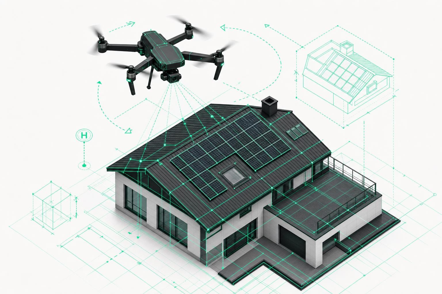
Who is it for? Roofers, solar installers and carpenters who survey single-family homes or smaller objects up to around 300 m² - without a lot of red tape. When it comes to DJI Mini 5 Pro surveying, this model is the ideal entry-level tool to get started right away.
Limitation: No mechanical shutter, no RTK module. For very large areas or the highest precision requirements, it reaches its limits.
2. DJI Mavic 4 Pro - The all-rounder for demanding projects
The Mavic 4 Pro is DJI's flagship in the prosumer segment and a true workhorse for trades and construction companies. It features a new 100 MP main camera with a spherical "Infinity Gimbal" - including 360° rotation and 70° upward tilt.
What makes it special for surveying?
- 100 MP 4/3-inch CMOS sensor with adjustable aperture from f/2.0 to f/11
- Triple-camera system (28 mm, 70 mm, 168 mm) for detailed facade and roof shots from different angles
- Up to 51 minutes of flight time
- Obstacle detection sensors work from as little as 0.1 lux of light
- OcuSync O4+ with up to 30 km HD video transmission range
Who is it for? Companies that survey multi-family homes, apartment blocks and medium-sized commercial properties (300 m² to roughly 1,000 m²). The three cameras provide excellent capture of complex roof geometries and facade details.
Limitation: No integrated RTK module (can be retrofitted), no mechanical shutter. For large-scale industrial projects, moving up to the Matrice series is recommended.
3. DJI Matrice 4E - The precision surveyor for large projects
Here we move into a different category: The Matrice 4E is an enterprise drone specifically designed for photogrammetry and area surveying. Its 4/3-inch 20 MP sensor with mechanical shutter eliminates motion blur and rolling shutter artifacts - critical issues in aerial photogrammetry.
What makes it special for surveying?
- Mechanical shutter eliminates motion blur - essential for precise photogrammetry data
- 0.5-second interval shooting enables high-speed aerial surveying
- Mapping of up to 2.8 km² in a single flight
- RTK support for centimeter-level positioning
- 5-directional oblique imaging - 40% more efficient than the 3-directional capture of the DJI Mavic 3 Enterprise
- Smart 3D Capture for complex building structures
- IP55 rating - robust in wind, rain and dusty environments
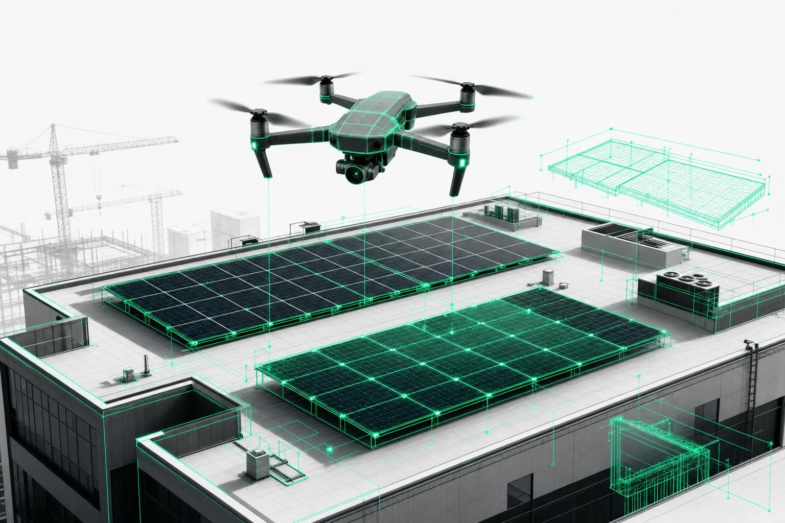
Who is it for? Companies that want to capture industrial roofs, commercial complexes, solar farms or multiple buildings in a single flight. The Matrice 4E is the heart of the Airteam Max Fusion Starter Set, developed for the highest demands in precision and area performance.
Limitation: No integrated thermal camera. If you also need thermal imaging, you'll need the Matrice 4T.
4. DJI Matrice 4T - Thermal imaging plus surveying in a single flight
The Matrice 4T is identical in design to the 4E but adds an integrated thermal camera. This makes it indispensable for missions such as thermal inspection.
What makes it special for surveying?
- Integrated thermal camera with 640×512 resolution - ideal for inspections using heat detection
- Combination of visual imaging and thermal imaging in a single flight
- Laser rangefinder with measurement range up to 1,800 m
- RTK-capable, omnidirectional obstacle detection
- Full night-time operating capability thanks to NIR illumination
Who is it for? Solar installers and maintenance companies that inspect PV systems using thermal imaging and at the same time need surveying data for documentation. Roofers looking to identify thermal bridges or moisture damage in the building envelope also benefit from the 4T.
Comparison table: All four drones at a glance
| Feature | DJI Mini 5 Pro | DJI Mavic 4 Pro | DJI Matrice 4E | DJI Matrice 4T |
|---|---|---|---|---|
| Weight | < 250 g | ca. 950 g | ca. 950 g | ca. 950 g |
| Main sensor | 1-inch CMOS, 50 MP | 4/3-inch CMOS, 100 MP (effective) | 4/3-inch CMOS, 20 MP | 1/1.3-inch CMOS, 48 MP |
| Mechanical shutter | No | No | Yes (0.5 s interval) | No |
| Thermal imaging camera | No | No | No | Yes (640×512) |
| Max. Flight Time | 36 min (52 min Plus) | 51 min | 38-42 min | 38-42 min |
| RTK Support | No | No | Yes | Yes |
| Obstacle detection | Omnidirectional + LiDAR | Omnidirectional + LiDAR | Omnidirectional | Omnidirectional |
| EU Class | C0 (under 250 g) | C1 | Enterprise | Enterprise |
| Main application | Single-family homes, small projects | Residential buildings, Commercial | Large-area sites, industry, solar parks | Thermography + surveying |
Which drone for which building type?
| Gebäudetyp | Empfohlene Drohne | Begründung |
|---|---|---|
| Single-family house / terraced house (up to ~300 m²) | DJI Mini 5 Pro | Under 250 g, no license required, easy to operate, ideal for roofers and solar installers in the entry-level segment |
| Multi-family house / apartment block (300-1.000 m²) | DJI Mavic 4 Pro | 100 MP sensor for high image quality, 51 min flight time, 3 cameras for precise detail shots |
| Commercial building / industrial roof (> 1.000 m²) | DJI Matrice 4E | Mechanical shutter, RTK-capable, 0.5-second interval shooting, up to 2.8 km² per flight |
| Thermography inspection & PV maintenance | DJI Matrice 4T | Integrated thermal camera (640×512), a combination of thermography and surveying in a single flight |
| Solar roof planning (all sizes) | Mavic 4 Pro or Matrice 4E | Mavic 4 Pro for mid-size projects, Matrice 4E for large projects and solar parks |
Interactive drone selector: Find your optimal surveying drone
Not sure which surveying drone fits your business? Answer three short questions - and the selector will immediately show you the ideal recommendation:
Airteam Fusion Platform: Get the most out of every drone
A powerful drone alone is not enough - what really matters is what happens to the images afterwards. The Airteam Fusion Platform automatically converts your captures into precise, standards-compliant 3D models: with accuracy of up to 99.9% and a tolerance of 1-3 cm at a flight height of 40 m.
Whether you are flying a single-family home with the Mini 5 Pro or surveying a business park with the Matrice 4E - the images are uploaded to the cloud, AI handles the processing, and in less than 24 hours you receive export-ready data. In more than 15 formats - compatible with PV*SOL, AutoCAD, SEMA, SketchUp and other tools.
This saves up to 90% time compared to manual measuring - and you never have to climb onto a roof again.
Conclusion: The right drone is an investment in your workflow
Choosing the right surveying drone is not just about budget and specs - it determines how efficiently and accurately you work every single day:
- DJI Mini 5 Pro -> Entry-level without bureaucracy, ideal for single-family homes and small businesses
- DJI Mavic 4 Pro -> Professional all-rounder for medium-sized residential and commercial properties
- DJI Matrice 4E -> Professional area surveying for industrial roofs and solar farms
- DJI Matrice 4T -> Thermal inspection and surveying in a single device
Curious how other trades and construction companies have built their drone surveying workflows with Airteam? Take a look at our success stories - from roofing companies to solar installers.
Do I need a drone license for the DJI Mini 5 Pro?
No. The DJI Mini 5 Pro weighs under 250 g and is classified in the EU drone category C0. It can be flown in the Open Category A1 without a pilot certificate. For commercial use, we still recommend informing yourself about applicable regulations (e.g., insurance requirements).
Is the DJI Mavic 4 Pro compatible with the Airteam Fusion platform?
Yes. Airteam supports the common DJI drones - including the Mavic series. Drone images are uploaded to the Airteam Fusion platform and automatically processed into DIN-compliant 3D models, regardless of which of the compatible models you are using.
For which drone are Airteam starter sets available?
Airteam offers starter sets including the DJI Flip (Fast Fusion), the DJI Mavic 3 Enterprise (Pro Fusion) and the DJI Matrice 4E (Max Fusion). Each set includes hardware, software flat-rate, training and support - so you'll be ready to operate as early as the next day.
What is the difference between Matrice 4E and Matrice 4T?
The Matrice 4E is designed specifically for precision surveying: it has a mechanical shutter and a 4/3-inch sensor for distortion-free photogrammetry captures. The Matrice 4T complements that with an integrated thermal imaging camera (640×512 px) - ideal for thermography inspections of PV systems or building envelopes.
Can I use Airteam even without my own drone?
Yes. Airteam offers, in addition to the starter sets, a pilot service: you book a certified Airteam drone pilot who conducts the flight. The images are subsequently automatically processed in the Fusion platform.