Large residential estates, mixed-use portfolios, industrial and utility sites: anyone responsible for hundreds or even thousands of buildings faces the same question:
How can you carry out a reliable, standardized site survey without tying up project managers and planners on site for weeks?
One of Berlin's largest housing companies, Gewobag, with over 75,000 residential units, faced exactly this challenge - and deliberately chose Airteam's digital surveying solution using drones and AI.
This article explains how you can set up similar projects in your own portfolio - from facade renovation to full portfolio digitization.
Why traditional surveys are reaching their limits
For large residential estates and industrial sites, conventional methods hit their ceiling quickly:
- Time investment:
In the past, manually surveying a single facade by external planners at Gewobag took up to 6-7 working days per building. - Hard-to-access areas:
Courtyards, rear facades, dense perimeter block developments - like on Danziger Straße in Berlin-Prenzlauer Berg, with multiple courtyard facades plus rear elevation - are difficult to access on foot. - Coordination with many stakeholders:
Architects, in-house engineering, modernization teams, and sometimes heritage authorities - coordinating joint site visits can take days or even weeks. - Dependence on external consultants:
Conventional surveying firms are expensive, and their capacity and lead times are hard to predict. - Lack of standardization:
Sketches, photos, spreadsheets - every project looks different. A shared, digital data foundation for portfolio-level decisions is missing.
The result: delayed renovations, uncertain budgets, and poor transparency across the portfolio.
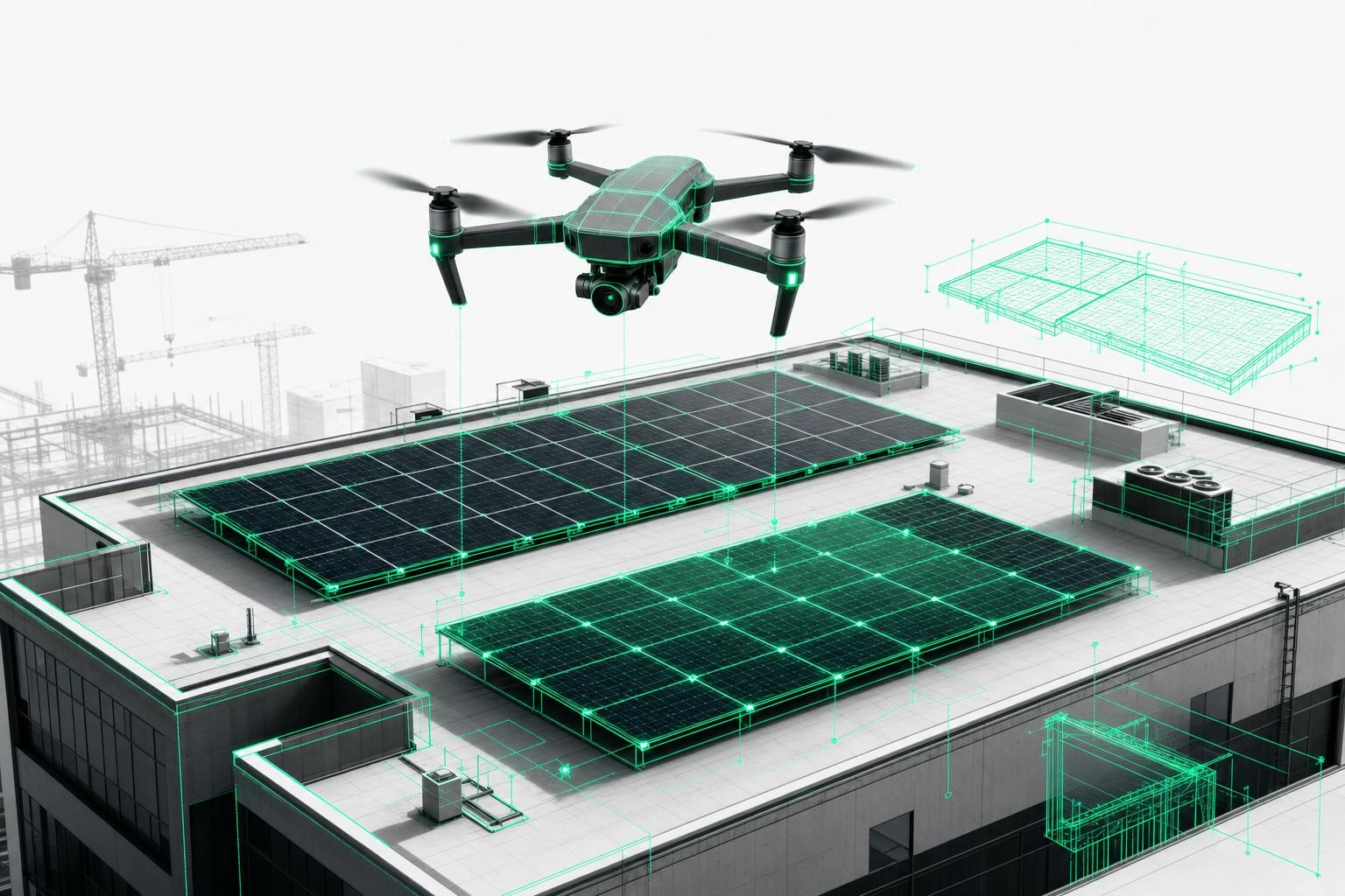
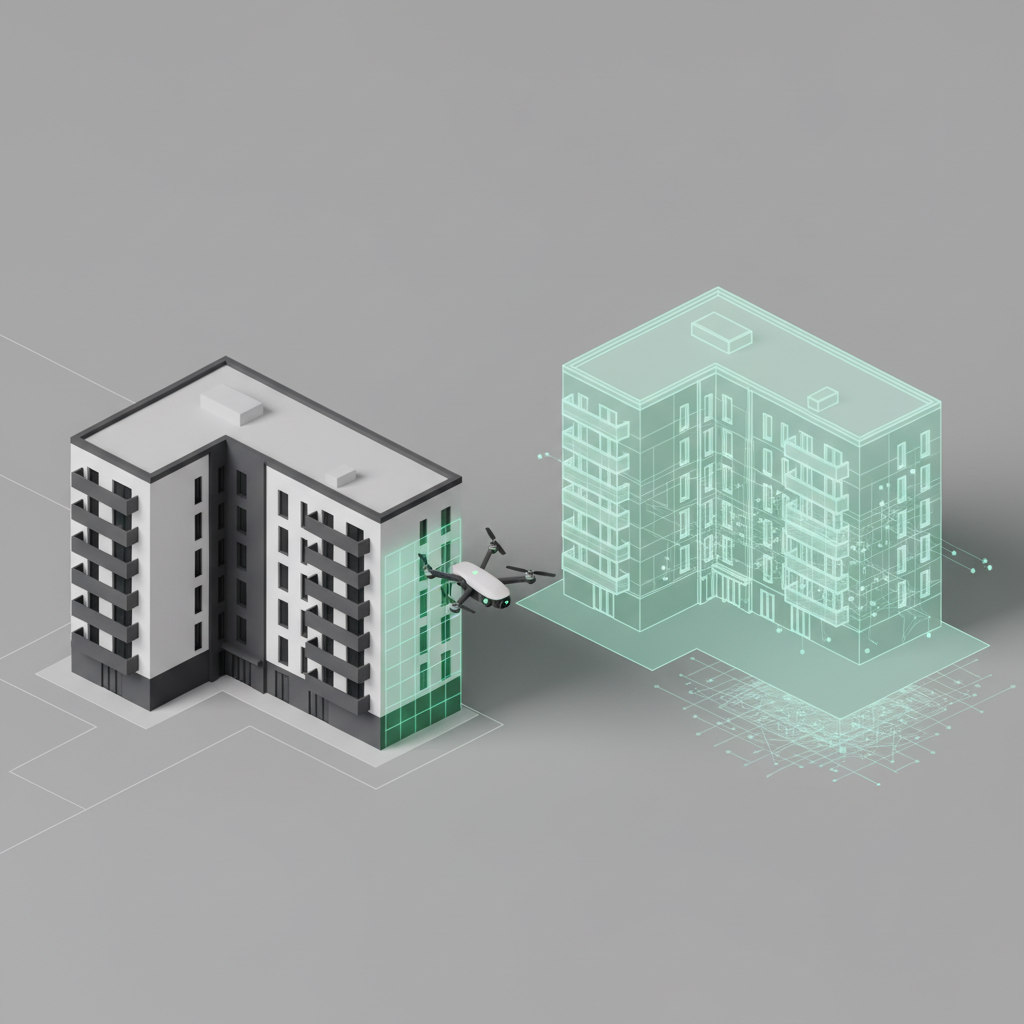
Airteam's approach: drones and AI instead of tape measures and ladders
Airteam relies on a clear, digitally supported workflow:
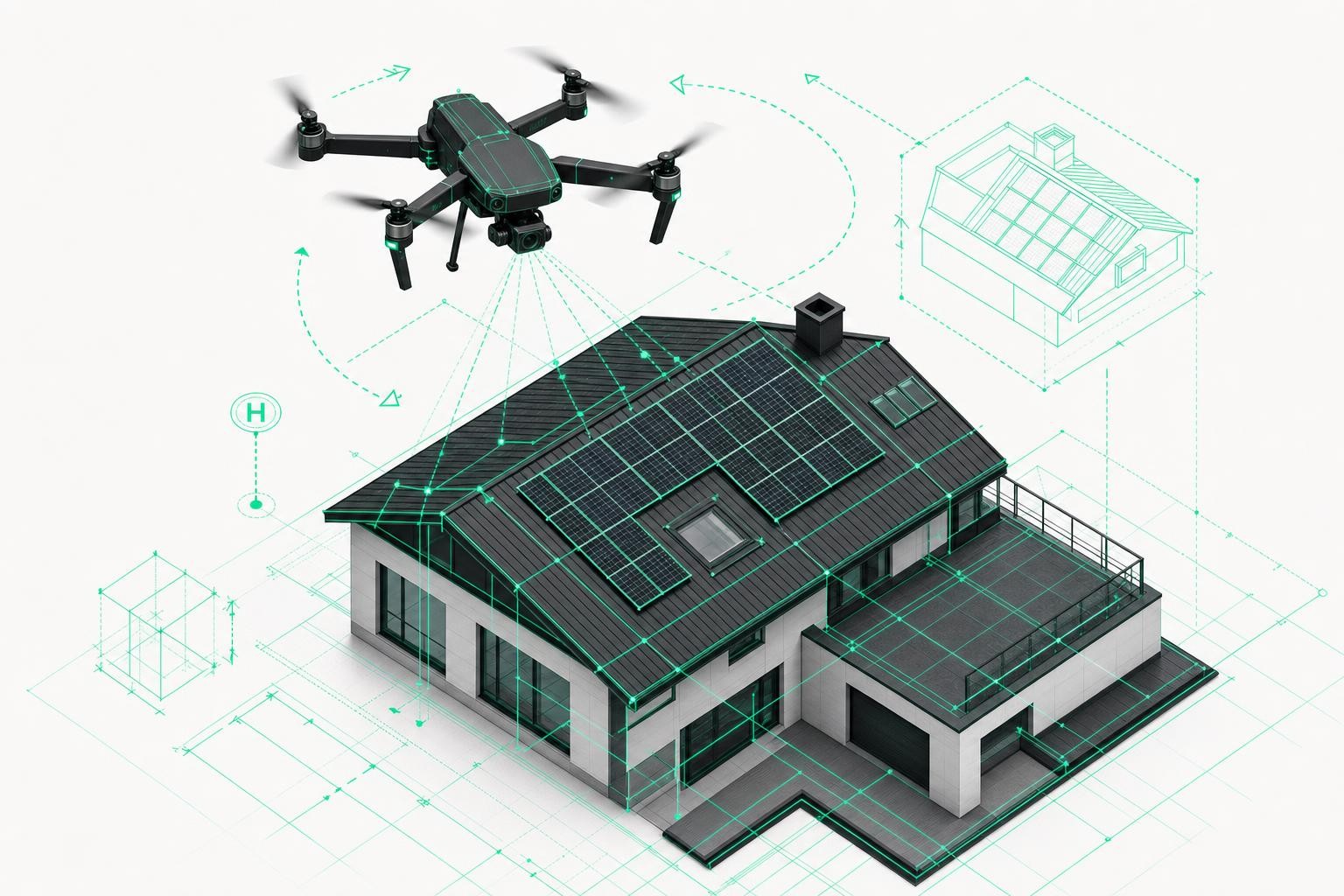
Select the asset and plan the flight
You create the building or estate in the platform. Airteam or your own team automatically plans the drone flight - all roof and facade areas are taken into account.On-site drone flight (6-15 minutes)
- At Gewobag, a complete facade flight takes around 6 minutes.
- Flights are carried out either by Airteam pilots or - after training - with your own drone.
Upload and automated analysis
The images are uploaded; the Airteam software automatically generates a centimeter-accurate 3D model of the building - typically within 24 hours.Using the data across the organization
In the cloud-based 3D model, your teams can digitally measure all lengths, areas, heights and facade structures. Data can be exported to common tools (e.g. AutoCAD, IFC, BIM environments, industry solutions).
Important: All measurements are DIN-compliant and accurate to the centimeter - significantly more precise than satellite data and fully verifiable.
Real-world example: Gewobag cuts survey time from 6-7 days to 6 minutes
Gewobag uses Airteam primarily for baseline data collection for renovation and modernization of its portfolio.
Starting point
- Over 75,000 apartments in the portfolio, covering a wide range of construction years and building types
- Ongoing modernization of the portfolio as a core responsibility
- Previous approach:
- External planners manually surveyed the facades
- Up to 6-7 working days per facade just for data collection
- Challenging access to courtyards and rear buildings
The shift to Airteam
Today, surveys look very different:
- An Airteam pilot flies the building in around 6 minutes - including hard-to-access courtyard facades and rear elevations.
- The drone imagery is used to create a true-to-scale 3D model of the facade.
- Gewobag can reduce part of the architects' basic survey costs, because a significant portion of this work is already covered by Airteam.
The outcome, according to the Airteam case study:
- 70-80% time savings for surveys
- Around 40% cost savings on baseline data collection
- 100% customer satisfaction in the project context
A key benefit is the 3D model: planners and internal teams can discuss the asset "on screen" without a site visit. Especially in large organizations, this dramatically increases speed and reduces coordination overhead.
How a digital survey with Airteam works in practice
1. Set up the project and organize the flight
- You select the asset, address, and scope (roof, facade, entire estate).
- You decide whether to book an Airteam pilot or use a trained in-house pilot.
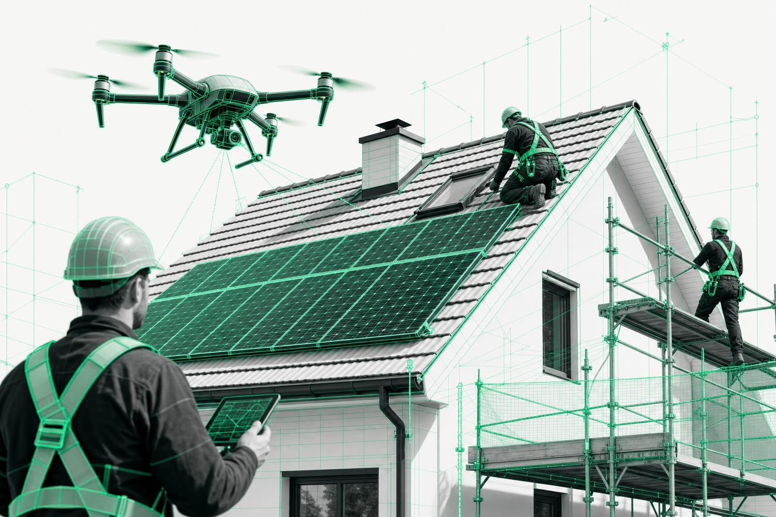
2. On-site drone flight - even in occupied buildings
In residential portfolios, units are often still occupied at the time of the survey.
Gewobag's experience:
- Initially, there is sometimes scepticism about the drone in the courtyard.
- Airteam pilots are trained to communicate openly, answer questions, and show residents on the controller exactly what is happening.
- This often leads to curiosity rather than rejection, and many concerns are eased.
3. Using the data: from 3D model to BIM perspective
After automated processing, you have several options:
- 3D facade and roof model in the browser
- Exact measurements of areas, lengths, heights, and openings
- Standardized survey reports and exports in more than 15 data formats
- Combination with interior data (e.g. via partners like Lumoview) to create complete BIM models - already in successful use with municipal utilities and energy suppliers.
Concrete benefits for housing companies and operators of large sites
1. Fast, scalable surveys
- From 6-7 days of manual surveying to 6 minutes of drone flight per facade
- Up to 90% faster than manual methods for roof and building measurements
- Ideal for programmes with several hundred assets per year
2. Significantly lower costs
- Substantial reduction in architects' budgets for baseline surveys (Gewobag: around 40% savings)
- Fewer external surveying assignments
- Predictable flat-rate models instead of individual fees
3. Centimeter-accurate, DIN-compliant surveying
- Measurement data with 1-3 cm tolerance over 40 m (using RTK drones)
- Surveying in line with the latest DIN SPEC for drone-based measurements - clear standards for accuracy and data formats
- Ideal for renovation, structural engineering, scaffolding, and solar PV planning
4. Digital collaboration in the 3D model
- Planners, engineering, procurement, and asset management work on the same cloud-based data foundation
- No more time-consuming joint site inspections required
- Transparent, verifiable asset data instead of scattered spreadsheets and PDFs
5. Portfolio digitization and ESG
- Step-by-step digitization of the entire portfolio
- Preparation for BIM projects, ESG reporting, and long-term maintenance strategies
- Vision: a fully navigable 3D model of all buildings inside and out - exactly the target picture Gewobag has set for the future.
Before and after: survey methods compared
| Traditional survey | Digital survey with Airteam | |
|---|---|---|
| Time required | 6-7 days per facade | Approx. 6 minutes of drone flight |
| Staff required | External planners + internal accompaniment | 1 pilot, no internal resources needed |
| Accuracy | Person-dependent, hard to verify | Centimeter-accurate, DIN-compliant, verifiable |
| Documentation | Sketches, photos, individual files | Standardized 3D model, exports |
| Scalability | Limited | Several hundred assets per year feasible |
| Resident communication | Often sceptical due to frequent inspections | Short flight, transparent on-site explanation |
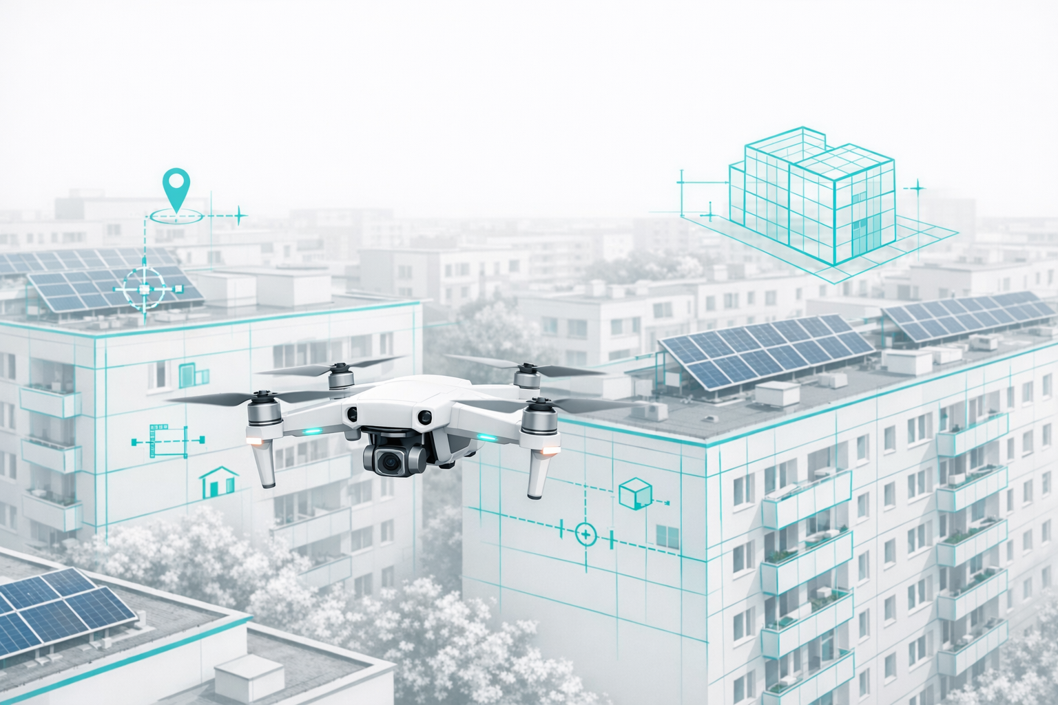
Beyond housing estates: industry, utilities, municipal property
The same processes work far beyond residential real estate:
- Industrial and plant sites
Facades, warehouse roofs, pipe bridges - everything can be captured completely within minutes. - Energy suppliers and municipal utilities
Example: Stadtwerke München & Lumoview - only 15 minutes on site, then combining building envelope and interior data into a complete BIM model. - Municipal properties
Schools, administrative buildings, hospitals - ideal for renovation programmes and solar PV rollout.
Three common use cases in existing portfolios
Facade and insulation upgrades
Complete areas and openings measured to the centimeter, providing a solid basis for tendering and cost calculation.Solar PV programmes on existing roofs
Direct export of roof models into PV planning software, realistic yield calculations, and robust profitability analyses.Portfolio digitization and maintenance strategy
A unified data basis for all assets, with the option to combine it with interior and consumption data.
FAQ: common questions about digital surveys with drones
How accurate is the measurement data?
Depending on the drone type, Airteam achieves up to 99.9% accuracy, i.e. 1-3 cm tolerance over 40 m. The measurements are DIN-compliant and therefore suitable for professional planning, structural analysis, scaffolding, and tendering.
How long does the entire process take?
- On-site drone flight: usually 6-15 minutes per asset
- Delivery of the 3D model: typically within 24 hours of upload
Do we need to train our own drone pilots?
No. Many housing companies initially use the Airteam pilot service and only build internal capabilities later if needed. The pilot service completely relieves your internal teams.
Is it even feasible to use drones over occupied buildings?
Yes, as long as legal requirements are met. Airteam pilots are trained in resident communication and flight safety and proactively approach occupants, explain the flight, and take their concerns seriously - something that was clearly demonstrated in the Gewobag project.
Conclusion: rethinking site surveys
For large housing providers, industrial companies, and utilities, digital surveys using drones offer a practical way to:
- Accelerate renovation and modernization programmes
- Reduce planning and surveying costs
- Make the entire portfolio standardized, centimeter-accurate, and digitally accessible
If you want to see how this approach could work for your portfolio, the best starting point is a pilot asset:
- Select one building
- Book an Airteam pilot flight
- Test the 3D model with your planners 24 hours later
This lets you quickly see how much time, budget, and coordination effort you can actually save on your next survey.