Surveying roofs by drone is already standard practice for many roofers, solar installers, carpenters, and scaffolders. But as soon as true survey-grade accuracy is required, one term keeps popping up: RTK.
What is behind it, when do you actually need RTK on site - and when is a "normal" drone good enough? This article gives you a clear, practical assessment from a trades perspective.
1. What exactly is RTK?
RTK stands for Real Time Kinematic. It is a method that lets you determine the position of a drone not just within a few meters, but with accuracy down to a few centimeters.
Standard GPS (or GNSS) has three main issues:
- Atmospheric interference
- Inaccuracies in the satellite signals
- Inaccuracies in the drone's antenna
RTK corrects these errors in real time by:
- Using correction data from a reference station (base)
- Sending this data to the drone (rover)
- Continuously correcting the drone's position while it is flying
The result: you get precise, repeatable position data with 2-3 cm accuracy - the foundation for professional 3D models, measurements, and standards-compliant planning.
2. How does RTK work on surveying drones?
In practice, it looks like this:
RTK-capable drone
The drone has a dedicated RTK module on board and receives GNSS signals (GPS, Galileo, GLONASS, etc.).Base station or correction service
- Either you set up your own RTK base station directly on site
- or you use an online correction service (NTRIP) that delivers correction data via the mobile network.
Real-time correction
The drone receives the correction data from the base station in parallel with the satellite signals and uses them to calculate its exact position in real time.Photogrammetry & 3D model
The survey-grade images are then processed, for example, through the Airteam photogrammetry pipeline. This produces centimeter-accurate 3D models, point clouds, and measurements that you can use directly for planning, structural calculations, or quotations.
3. RTK vs. standard GPS: The difference in practice
| Feature | Standard drone (GPS) | RTK drone |
|---|---|---|
| Position accuracy | approx. 1-3 m | approx. 2-3 cm |
| Repeatability | highly variable | stable, reproducible |
| Suitable for | rough area estimates | professional measurements / structural design |
| Control points required | many | significantly reduced / targeted |
| Risk of rework | high | very low |
For marketing photos or rough roof area estimates, GPS is often sufficient.
But as soon as you are doing binding cost calculations, designing PV systems, planning scaffolding, or preparing building permit applications, deviations of whole meters are simply not acceptable.
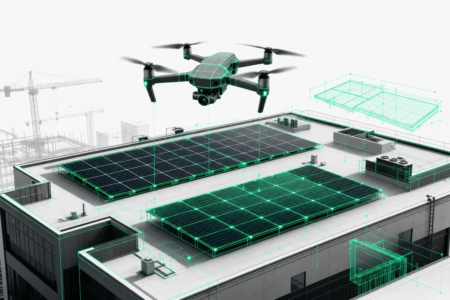
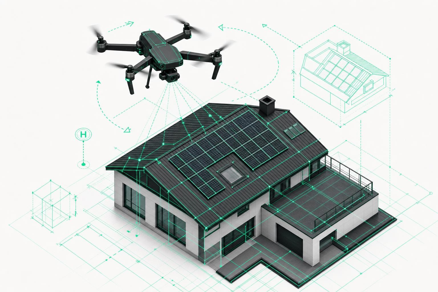
4. Why do you need RTK for roof surveying?
For trades businesses, an RTK drone delivers four major practical advantages:
4.1. Reliable measurements and quotations
- Centimeter-accurate areas, lengths, and slopes
- Minimal differences between planning and actual site conditions
- Fewer change orders, fewer disputes with clients or site management
Especially on large roofs or complex geometries (dormers, cut-outs, extensions), small measurement errors can quickly add up to significant costs.
4.2. Precise PV design and shading analysis
For solar installers and PV designers, RTK is almost essential:
- Exact roof pitches and orientations
- Centimeter-accurate positions of chimneys, roof windows, vents
- Reliable shading analyses and yield forecasts
With Airteam, you can export directly from the RTK-based 3D model into tools like PV*SOL, Eturnity, or SolarEdge Designer - without having to rebuild the project manually in your software.
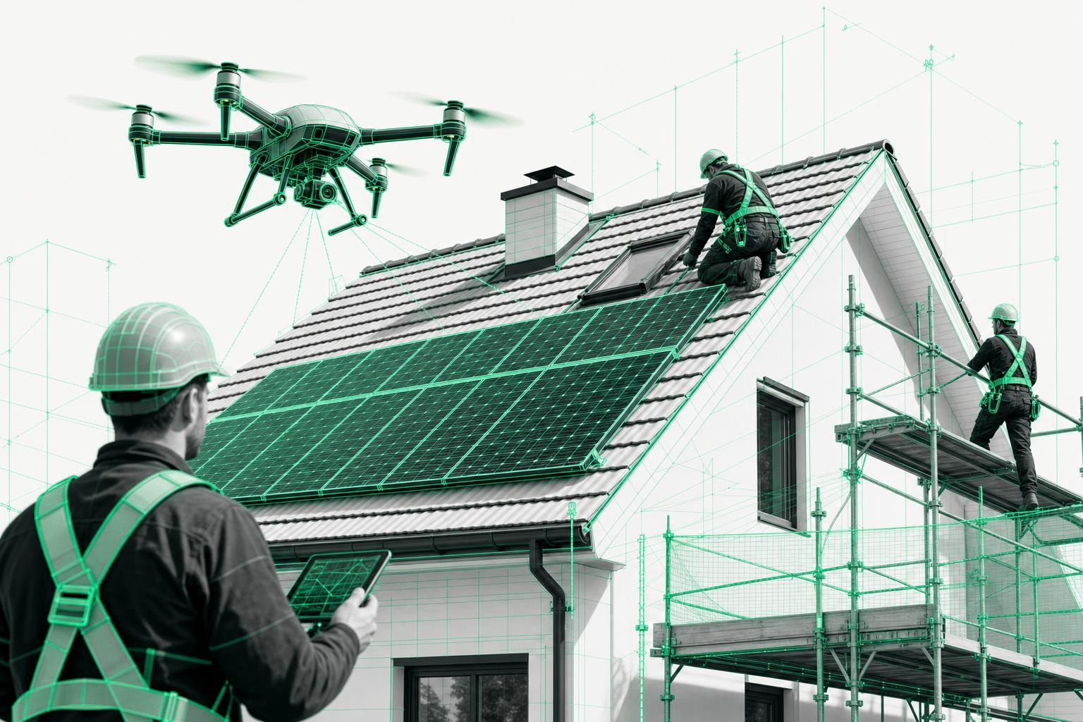
4.3. Scaffolding and site safety
Scaffolders benefit from:
- Precise eave and ridge heights
- Exact lengths and corner points of facades
- Reliable data for structural calculations and material planning
Incorrect height data or incomplete measurements quickly lead to extra trips, rebuilds, and lost time on site. RTK significantly reduces this risk.
4.4. Documentation and legal security
Centimeter-accurate, georeferenced 3D models are a strong basis for:
- Securing evidence before/after installation (e.g., roof damage, condition before PV installation)
- Expert reports and insurance claims
- Long-term documentation for property portfolio owners
The combination of an RTK drone + automated analysis delivers a transparent, stored data foundation - far more robust than handwritten sketches.
5. Do you really need RTK - or is your current drone enough?
A simple decision guideline:
You can get by without RTK if you...
- only need rough areas for an initial cost estimate
- mainly work on small single-family homes with simple roofs
- do not require precise 3D models or CAD/BIM data
RTK is advisable to essential if you...
- design PV systems with yield forecasts
- regularly survey commercial roofs, warehouses, or complex roofs
- need data for structural analysis, scaffolding, or building permits
- want to minimize change orders and measurement errors on every project
- intend to transfer your data directly into PV, CAD, or BIM software
In short:
As soon as you use drone-based measurements for binding calculations or detailed planning, you should rely on RTK.
6. How an RTK roof survey works with Airteam
With Airteam, you do not just get the RTK hardware - you get the entire workflow:
Flight planning
- Create the project, mark the building
- Automatic flight plan for your RTK drone
Drone flight on site
- Flight time usually only a few minutes
- RTK delivers centimeter accuracy in the background
- No need to access the roof, no fall risk
Upload and processing
- Upload the images
- The AI-powered photogrammetry pipeline automatically generates:
- 3D model
- Measurements and reports
- Planning data for roofing, PV, or scaffolding
Export into your software
- Direct export into, for example, PV*SOL, Eturnity, SolarEdge Designer, AutoCAD, SketchUp, IFC/BIM
- No double data entry, no tedious rebuilding
Many businesses save 75-97% of surveying time compared to traditional manual measurement - while avoiding costly measurement errors at the same time.
7. Common questions about RTK drones in the trades
Do I still need ground control points with RTK?
Depending on your accuracy requirements, you can significantly reduce the number of ground control points. For many roofing and PV projects, RTK alone is entirely sufficient. For highly regulated surveying work, a few checked reference points can still make sense - Airteam supports both workflows.
What happens if the RTK signal is lost?
The drone continues flying with standard GNSS. For the specific project, this means that some images may no longer be accurate to the centimeter. Modern systems show you the current status so you can re-fly or supplement the data if needed.
Is RTK complicated to set up?
No - at Airteam, RTK workflows are designed so that trades businesses without a surveying background can work with them.
With starter kits and training, you are guided step by step through the process, from initial setup to the finished 3D model.
Conclusion: RTK is the key to professional roof surveying
RTK turns a simple "drone with a camera" into a true surveying drone.
For trades professionals, that means:
- Centimeter-accurate 3D data instead of rough estimates
- Faster measurements and fewer trips
- Reliable cost calculations, fewer change orders and disputes
- Direct use in your PV, CAD, or BIM software
If you want to take your roof surveying to the next level, moving to an RTK drone in combination with a platform like Airteam is the logical next step.
Tip:
Test a typical project (for example, a larger commercial roof) once with traditional methods and once with an RTK drone plus Airteam. The difference in time, accuracy, and safety is usually so striking that the investment pays off very quickly.