Digital measurement methods have long since taken over the roof-from apps and laser scanners to drones. This article explains why AI-powered drone surveying is now the most reliable foundation for BIM-ready 3D models, VOB-compliant measurements, and profitable construction projects-especially for roofs, facades, and solar installations.
You'll get a clear comparison of tape measure, 2D apps, laser, terrestrial 3D surveying, satellite data, and drone surveying-and see how Airteam's AI-based 3D building modeling excels in precision, efficiency, and safety.
From Tape Measure to BIM: Why Digital Surveying Is Now Essential
A survey is more than "a few dimensions for the quote."
Under VOB, the survey is the basis for auditable, traceable invoicing, where you carry the burden of proof in case of a dispute. Digital surveys make transparent capture and documentation much easier-including measurement points, photos, and digital plans.[1]
The demands are increasing:
- more complex roof geometries (dormers, extensions, PV)
- high pressure on pricing and short response times
- strict safety requirements for working at height
- growing BIM expectations from developers and planners
Companies that switch to digital surveys and 3D models report up to 90% less time spent on measuring compared with traditional methods-and significantly fewer reworks or arguments on site.
Bottom line: Without digital surveying, it will soon be difficult to work in a VOB-compliant, cost-effective, and BIM-ready way.
The Six Most Important Surveying Methods Compared
In roofing and facade work, these methods are currently in use:
- Tape measure & hand sketch (traditional)
- 2D surveying with app/tablet (often combined with laser distance meters)
- Tacheometric laser measurement / total station
- Terrestrial 3D surveying (stationary 3D laser scanner)
- Satellite or aerial image surveying (e.g. Google Maps)
- Drone surveying with photogrammetry & AI
Here are the key differences in precision, safety, speed, BIM suitability, and VOB compliance:
1. Tape Measure & Hand Sketch
Advantages:
- no technology costs
- works everywhere, independent of internet access
Disadvantages:
- accident risk due to ladder use and roof access
- only selected points are measured, no complete documentation
- error-prone (e.g. reading errors, transcription mistakes)
- no direct transfer into CAD/BIM or PV software
For simple projects this method can still be sufficient. As soon as roofs, PV systems, and facades become more complex, it quickly reaches its limits-especially when VOB documentation and BIM models are required.
2. 2D Surveying with App and Laser
Many companies use tablet/smartphone apps with Bluetooth laser distance meters. Providers like STREIT make surveying more structured and VOB-compliant.[1]
Advantages:
- digital capture on site
- fewer transcription errors
- good for interiors and simple floor plans
Disadvantages (especially on roofs):
- many measurement points required when geometry is complex
- roof access still required -> safety risk
- typically 2D-focused, no fully-fledged 3D models
- BIM capability depends on the software used
Conclusion: 2D apps are a good first step toward digitalization, but they do not solve the safety and completeness challenges of roof surveying.
3. Tacheometric Laser Measurement (Total Station)
Tacheometers/total stations measure distances and angles very precisely.
Advantages:
- extremely high accuracy in the millimeter range under optimal conditions[2]
- ideal for engineering surveys and special measurements
Disadvantages:
- expensive, complex to operate and set up
- line of sight is mandatory-often difficult around dormers or courtyards
- data is usually individual points or point clouds, not a true 3D building model
- measurements often only from ground level-many roof details remain hidden
For standard roof surveys this technology is usually overkill and not very practical.
4. Terrestrial 3D Surveying (3D Laser Scanner)
Stationary 3D laser scanners generate highly dense point clouds and are well established in scan-to-BIM workflows.[3]
Advantages:
- high-resolution geometries-including interiors
- complete basis for BIM models when fully scanned
Disadvantages:
- scanners must be carefully positioned (often requiring scaffolding)
- roof areas are only partially visible from below/side
- high investment and training costs
- evaluating point clouds is time-consuming
This is a good choice for complex buildings and interiors, but for roof surfaces and PV projects it is usually too laborious.
5. Satellite and Aerial Image Surveying
Often perceived as "free": taking dimensions directly from Google Maps or similar portals.
Advantages:
- quick orientation
- useful for rough estimates in early tender stages
Disadvantages:
- Errors of more than 50 cm are common for roof areas measured from satellite images; depending on image quality, roof pitch, and capture timing, deviations of several meters can occur[4]
- no up-to-date data: alterations, refurbishments, or new structures are often missing
- no height information -> no slopes, precise edges, or shading
- not VOB-compliant (unclear data basis, proof is difficult)
Suitable for rough estimates, not for precise surveys or BIM.
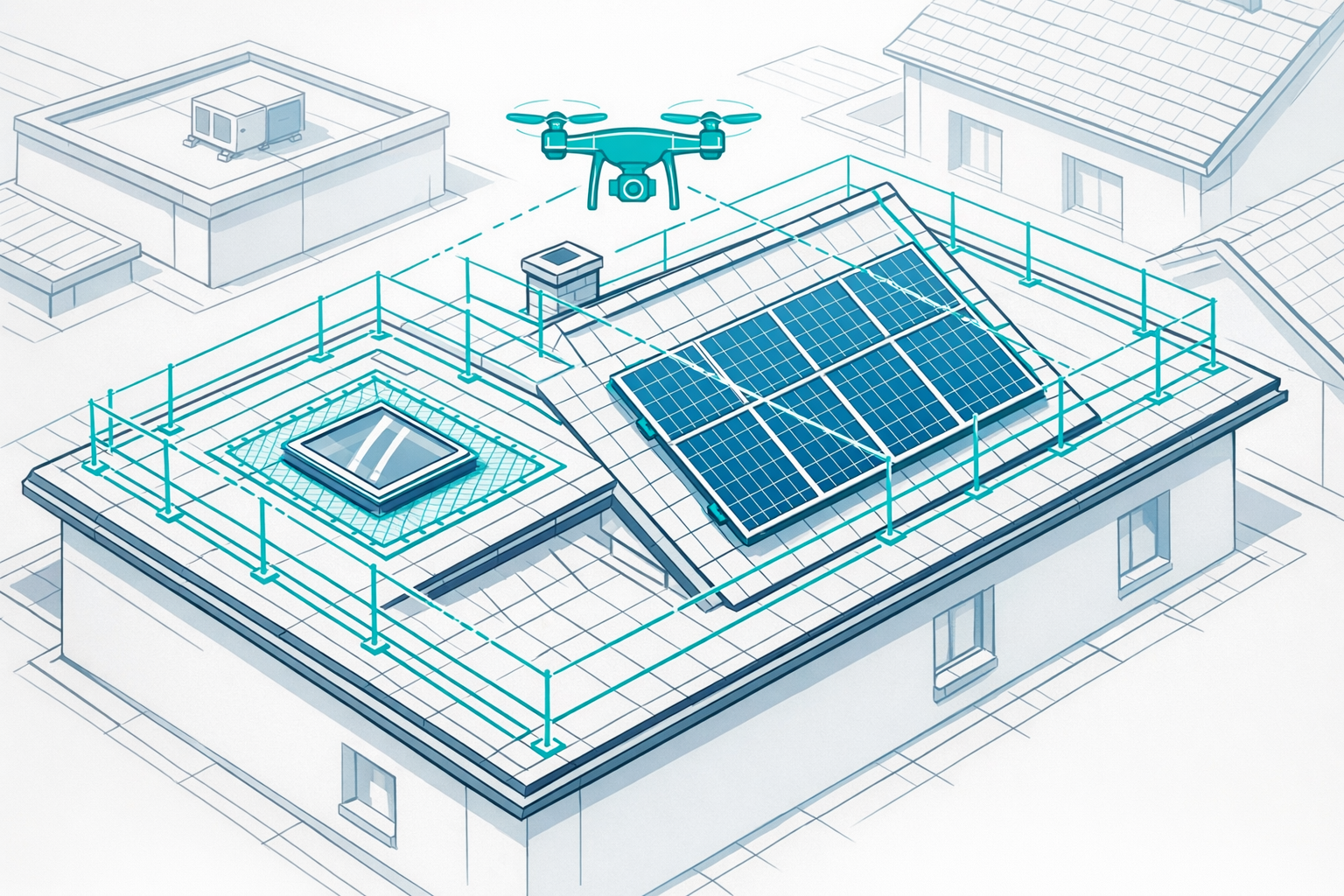
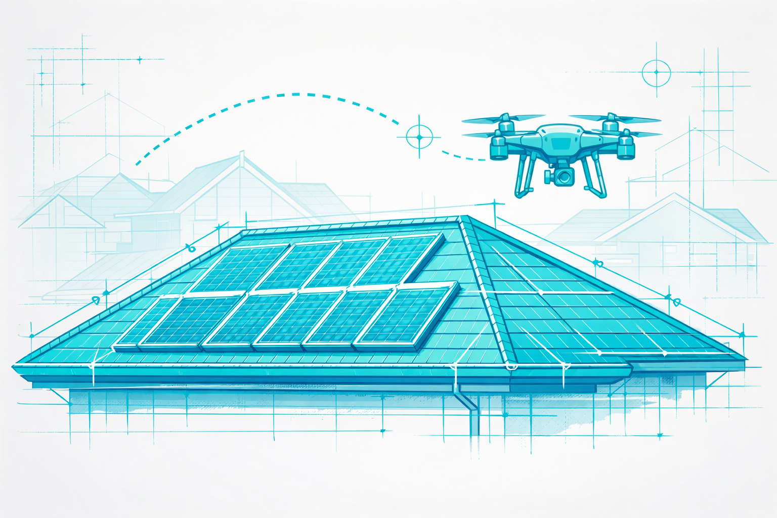
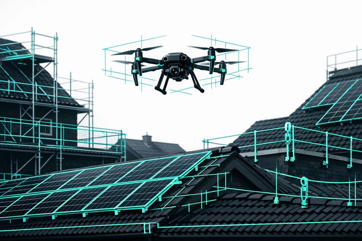
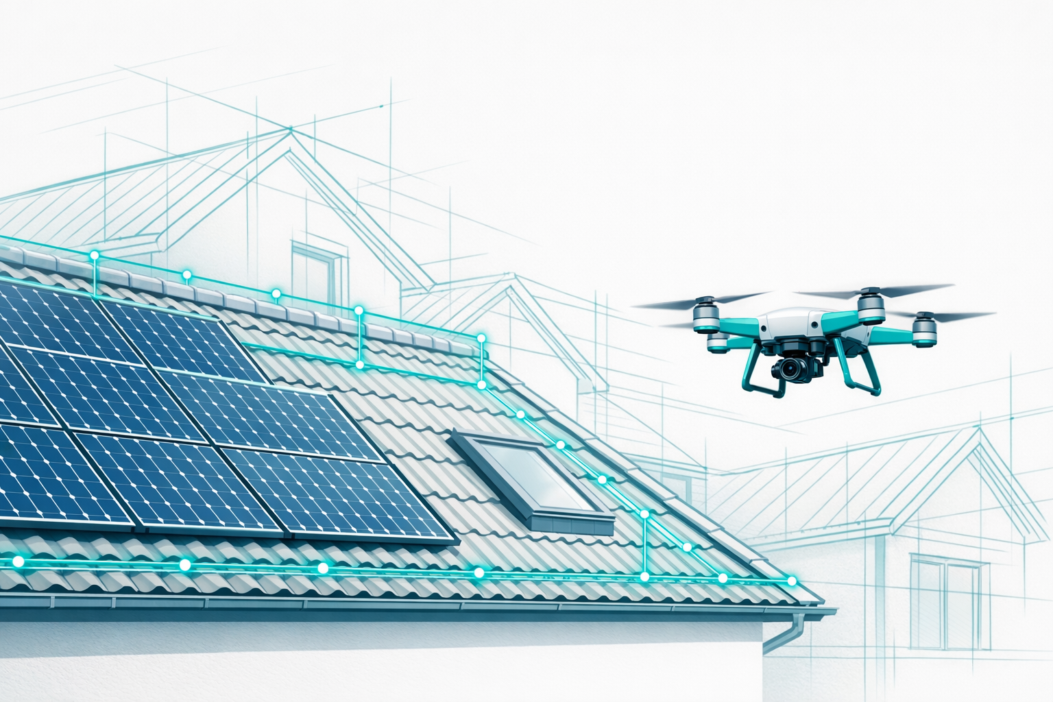
6. Drone Surveying with Photogrammetry & AI (Airteam)
Drone surveying uses high-resolution aerial images evaluated with photogrammetry and AI. Airteam's Airteam Fusion Platform builds on this to deliver a detailed digital 3D survey: roof surfaces, dormers, valleys, ridges, parapets, facades, and structures are captured in full.
Precision & Standards
- With GPS drones, Airteam achieves around 99.7% accuracy according to DIN SPEC 5452-5 (around 10 cm deviation at 40 m height)
- With RTK drones, accuracy reaches up to 99.9% (only 1-3 cm deviation at 40 m)
- Professional photogrammetry with drones achieves horizontal accuracies down to 1 cm and is compliant with DIN standards
Efficiency & Safety
- A drone flight takes only a few minutes; the verified 3D model is usually available within 24 hours
- Up to 90% less surveying time and significantly fewer errors have been demonstrated in practice
- measurements are carried out entirely from the ground-no ladders, no walking on the roof
BIM & Software Integration
- Airteam exports to 15-20 formats (e.g. MF Dach, PV*SOL, AutoCAD, SEMA, SketchUp, Scaffmax)-ideal for digital and BIM processes
In one step, drone surveying combines 3D measurement, VOB documentation, and BIM readiness-making it the most powerful method for roofs, facades, and PV projects.
At a Glance: Method Comparison for Roof, Facade, and PV Surveying
| Method | Precision (typical) | Safety | Effort/Time | 3D/BIM Suitability | Typical Use Case |
|---|---|---|---|---|---|
| Tape measure & hand sketch | depends on person; cm-dm | low (ladder) | high | minimal, needs redrawing | small repairs, simple projects |
| 2D app + laser distance meter | good (2D), depends on diligence | medium (ladder required) | medium to high | limited (2D only) | interiors, facades, small roofs |
| Tacheometry/total station | mm range[2] | medium (external setup) | medium | good, if evaluated in 3D | engineering surveys, special measurements |
| 3D laser scanner | very high | medium | high | excellent (scan-to-BIM) | existing buildings inside & out |
| Satellite/aerial imagery | ±3-15% / ≥50 cm[4] | very high (no site visit) | very low | poor (no true 3D) | rough planning, marketing |
| Drone surveying (photogrammetry & AI) | 1-3 cm, 99.7-99.9% | very high (ground operation) | low | excellent (complete 3D) | roof, facade, PV & BIM projects |
Note: Values are based on manufacturer information, studies, and practical experience and may vary.
Drone Surveying 2.0: How AI Makes Your Roof BIM-Ready
From Flight to 3D Building Model
With the Airteam Fusion Platform, the process runs in just a few steps:
- Drone flight: You or an Airteam pilot fly around the building once.
- Upload to the cloud: The images are uploaded directly to the Airteam Cloud.
- AI-powered 3D reconstruction: AI analyzes surfaces, edges, dormers, chimneys, etc. and generates a certified 3D model with a complete survey.
- Planning data & exports: You receive precise dimensions-exportable to common formats for PV, scaffolding, timber construction, and CAD software.
- BIM readiness: The structured data can be integrated directly into BIM workflows (e.g. via IFC or CAD). Scan-to-BIM experts confirm that drone photogrammetry is suitable for BIM models.[3]
DIN SPEC 5452-5: The Standard for Drone-Based Roof Surveys
Airteam knows DIN SPEC 5452-5 almost by heart. It defines:
- the process for drone-based roof surveying
- accuracy classes and tolerances
- data formats and documentation
The Airteam software complies with DIN SPEC 5452-5 and delivers standardized, DIN-compliant roof surveys.
For you, this means transparent, auditable data for VOB invoices, expert reports, and BIM workflows.
Learn more in the article Standardized, precise, future-proof - Airteam takes DIN-compliant surveying to the skies.
Real-World Benefits for Roofers, Solar Installers, Carpenters & Scaffolders
VOB-Auditable Surveys and Legally Robust Documentation
Digital roof surveys must above all be auditable and traceable. VOB/C requires detailed quantity documentation where lengths and areas are clearly visible.[5]
With Airteam you receive:
- complete 3D models as a visual basis
- clearly defined measurement points and areas
- automatically exported quantity lists for estimating and billing
This means you can prove even years later where every single figure came from-a clear advantage over hand sketches.
Faster Quotes and Higher Win Rates
A professional quote wins trust more quickly.
Airteam customers such as Dachdeckerei Mann and Pro Electrify achieve up to 91% less time spent on surveying, 23% more orders, and up to a 38% higher closing rate after switching to AI-powered drone surveying.
The 3D model also supports sales: you explain refurbishments or PV projects directly on the digital building-immediately understandable for your customers.
Safety and Insurance Risk
Ladder work and walking on roofs are among the most accident-prone tasks in construction. With drone surveying, these risks disappear. Airteam reports that across more than 5,000 customers and over 70,000 projects, not a single work accident has been recorded during drone-based roof surveying.
This reduces accident risk, can lower insurance premiums, and cuts downtime.
Competitive Advantage Through BIM-Ready 3D Surveying
Developers, utilities, and housing companies increasingly expect BIM-ready data.
Reference projects such as Gewobag or Stadtwerke München show: Drone-based roof and facade surveying combined with Airteam's 3D model saves up to seven working days per project and provides an accurate BIM model.
Companies that can already deliver these standards today clearly stand out from the competition.
How to Transition Your Business to Drone Surveying & BIM Measurement
1. Define Your Use Cases
Consider where drone surveying will bring you the greatest benefits:
- PV design (residential/commercial roofs)
- complete roof refurbishments (with dormers, extensions)
- facade and scaffolding planning
- as-built documentation for property managers and utilities
Tip: Start with a clear use case (e.g. "for PV systems over 30 m² we only use drone surveying").
2. Legal Basics & Training
- EU drone license (A1/A3, and A2 where required)
- knowledge of no-fly zones, data protection, and permits[6]
- internal operating instructions for drones
Airteam provides training and starter kits for a fast, safe rollout.
3. Select Hardware & Packages
Different projects call for different drone technology (e.g. DJI Mavic 3 Enterprise, Matrice). Airteam supplies suitable starter kits and flat-rate packages-from single-family homes to industrial sites.
For getting started, we recommend: Using drones and AI for 3D roof surveying.
4. Clarify Software Integration
Define your software stack:
- Roof: MF Dach, CAD, tendering software
- PV: PV*SOL, Eturnity, SMA Sunny Design
- Timber construction: SEMA
- Scaffolding: Scaffmax
Airteam provides exports tailored to these tools-no manual redrawing needed.
5. Establish a Standard Process in Your Business
Set up a clear workflow, for example:
- Qualify the project (is drone use legally permitted?)
- Carry out the drone flight (in-house team or Airteam pilot)
- Upload to the Airteam Fusion Platform
- Review and approve the 3D model
- Export into your planning software
- Prepare the quote, including screenshots/viewer link
This turns drone surveying into a routine process in your company.
Frequently Asked Questions
How accurate is drone surveying compared with satellite data and traditional methods?
With Airteam, you work to DIN-specified accuracy. According to DIN SPEC 5452-5, RTK drones achieve deviations of only 1-3 cm at 40 m, and GPS drones around 10 cm. That corresponds to 99.7-99.9% accuracy-more than sufficient for VOB, PV design, and scaffolding.
Satellite data usually shows ±3-15% or at least 50 cm deviation[4], while traditional manual surveys depend heavily on the person taking the measurements and are often less consistent.
Can I work in line with VOB using drone-based surveying?
Yes-if you document the process properly. With Airteam you get:
- a complete 3D model as an overview
- clearly documented lengths and areas
- structured quantity lists for billing
DIN SPEC 5452-5 describes all the necessary requirements-Airteam contributed to it and complies fully.
What do I need to start using Airteam?
You need:
- A suitable drone (e.g. DJI Mavic 3 Enterprise) or access to the Airteam pilot service
- Legal prerequisites (EU drone license A1/A3, and A2 where required; knowledge of no-fly zones)[6]
- Access to the Airteam Fusion Platform (a browser and internet connection are enough)
CAD experience is not strictly necessary-the platform is designed for users without CAD expertise.
Is drone surveying suitable for small single-family homes?
Yes. The time savings are particularly noticeable here. With a few minutes of drone flight you have all the measurements-without spending an hour on a ladder.
For small buildings there are dedicated Airteam starter kits and flat-rate packages that pay off quickly.
Are the data BIM-ready? Which formats does Airteam support?
Airteam creates structured 3D models with clearly classified building elements (roof, dormers, facades, etc.). Export formats include:
- CAD formats (DWG/DXF, SketchUp)
- specialist formats (MF Dach, SEMA, Scaffmax, PV*SOL, Eturnity)
- additional 3D formats for BIM processes
This makes Airteam models an ideal basis for BIM planning-including collaboration with architects and engineers.
Conclusion & Next Steps
For roofs, facades, and PV, the picture is clear: tape measures, 2D apps, and satellite images increasingly fail to meet growing demands for precision and BIM readiness. Total stations and stationary 3D scanners are highly accurate, but expensive and often too cumbersome for everyday use.
AI-powered drone surveying with Airteam offers the optimal mix:
- DIN-compliant, centimeter-level accuracy
- complete 3D models instead of isolated measurements
- VOB-compliant documentation
- seamless integration with your planning software
- up to 90% time savings and maximum safety
Want to make your digital surveying, BIM, and project delivery more efficient? Now is the time.
- Learn more: Using drones and AI for 3D roof surveying
- Read how Airteam is driving standardized drone surveying with DIN SPEC 5452-5: Standardized, precise, future-proof - Airteam takes DIN-compliant surveying to the skies
- Or try it out for yourself:
Turn surveying into an opportunity-for precise, cost-effective, and BIM-ready construction projects.