Installing solar panels on a single-family home from 1928, a 1960s apartment building, or a commercial roof with countless add-ons: today, photovoltaic planning on older buildings is more the rule than the exception. But this is exactly where traditional methods quickly reach their limits. Crooked rafters, retrofitted dormers, unclear structural capacity - anyone installing solar on an existing roof needs far better data than a rough satellite image or a tape-measure survey.
This article explains:
- the typical issues that arise when planning PV systems on existing buildings,
- why complex roof geometry, dormers, and extensions are real yield and risk traps,
- and how digital roof surveying with drones makes planning measurably faster, more precise, and safer.
1. Why older and existing roofs are especially demanding
For new builds, architects and structural engineers now often design roofs to be "PV-ready" from the start. With existing buildings, it is a different story - you are dealing with structures that have evolved over decades:
Incomplete or outdated plans
Building records may be missing, never digitized, or no longer reflect the actual state of the roof (later dormers, extensions, roof windows).
Unclear structural capacity
No one knows exactly how much additional weight the roof can still carry. Without precise surface measurements, roof pitches, and load distribution, every calculation becomes guesswork.
Complex roof geometry
Valleys, intersections, differently pitched sections, various tile types - older roofs rarely look like textbook examples.
Restricted access
Steep roofs, fragile coverings, no anchor points: a manual survey is often not only time-consuming but also dangerous.
Anyone who wants to plan PV installations efficiently on existing buildings needs a different approach than "ladder, laser measurer, spreadsheet."
2. Common planning mistakes when installing solar on existing roofs
When it comes to solar PV on existing roofs, the same issues crop up again and again:
2.1 Inaccurate roof area data
The starting situation is often:
- roof area "estimated" from satellite imagery,
- roof tiles counted and extrapolated,
- dimensions taken directly from old building plans.
This leads to:
- measurement errors of 5-10% in manual surveys, especially with complex geometries involving dormers, valleys, and intersections,
- incorrect module counts and inaccurate cable runs,
- additional material orders, change orders, and delays on installation day.
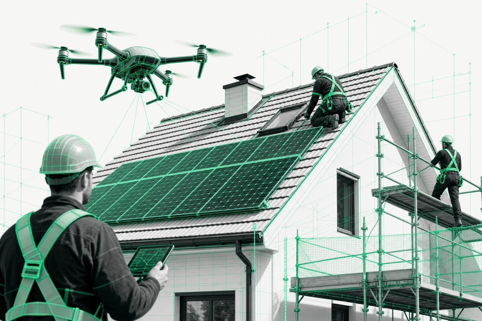
2.2 Safety risks during on-roof measurement
Measuring on steep, aging roofs means:
- increased risk of accidents,
- the need for additional fall protection or scaffolding - often already in the quotation phase,
- skilled workers tied up with low-value tasks.
Digital methods that capture the roof from the ground using a drone practically eliminate this risk entirely.
2.3 Media breaks in the planning process
Even if the measurements are accurate, problems can still occur:
- hand-drawn sketches must be transferred into PV or CAD software,
- typos or unit conversion errors can throw off the entire calculation.
The result: duplicate work, slow proposals, and mistakes that only become apparent on the roof.
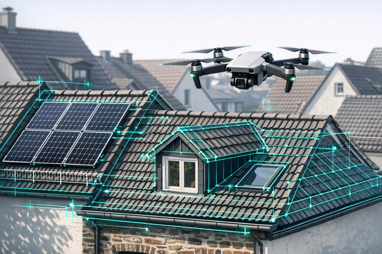
3. Complex roof geometry, dormers, and extensions as planning traps
Certain features of older roofs are particularly critical for PV planning:
Dormers and roof windows
They not only reduce the available area for modules but also create shading and bottlenecks for cable routing.
Extensions and varying roof heights
Offset eaves and ridges result in complex shading patterns that are difficult to model accurately without a 3D representation.
Chimneys, vents, and other rooftop structures
Each structure casts shadows and requires clearance zones that must be taken into account during planning.
Capturing all distances, heights, and angles cleanly by hand is extremely time-consuming on such roofs.
Digital roof surveying records these details automatically - including classification of roof windows, chimneys, dormers, and other structures.
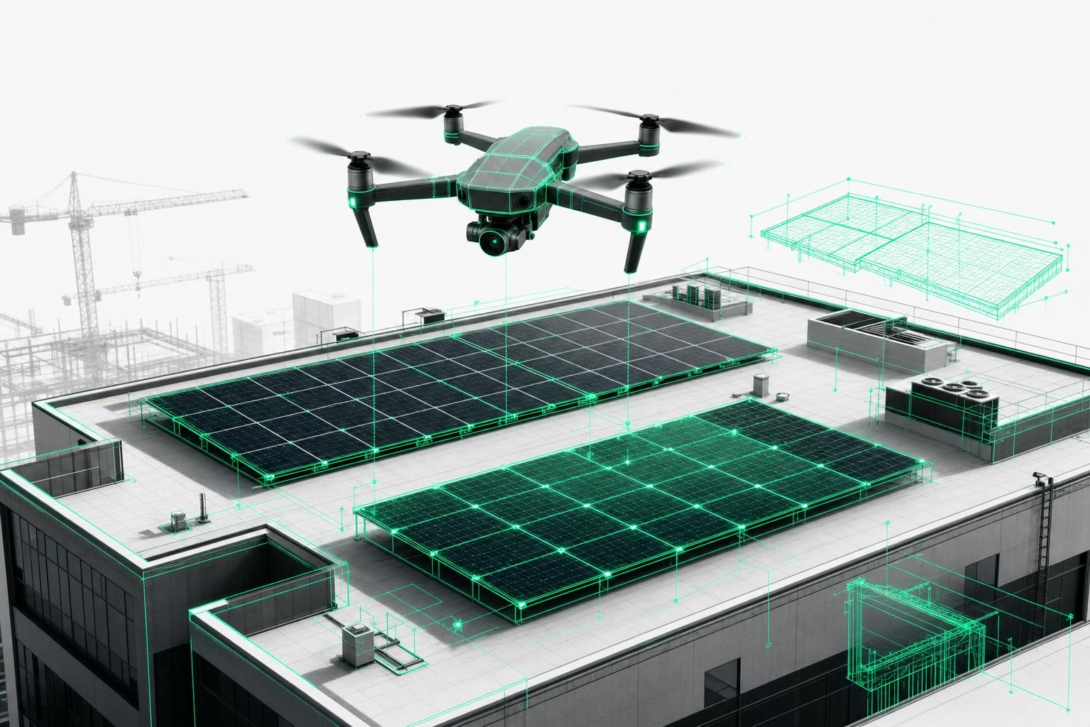
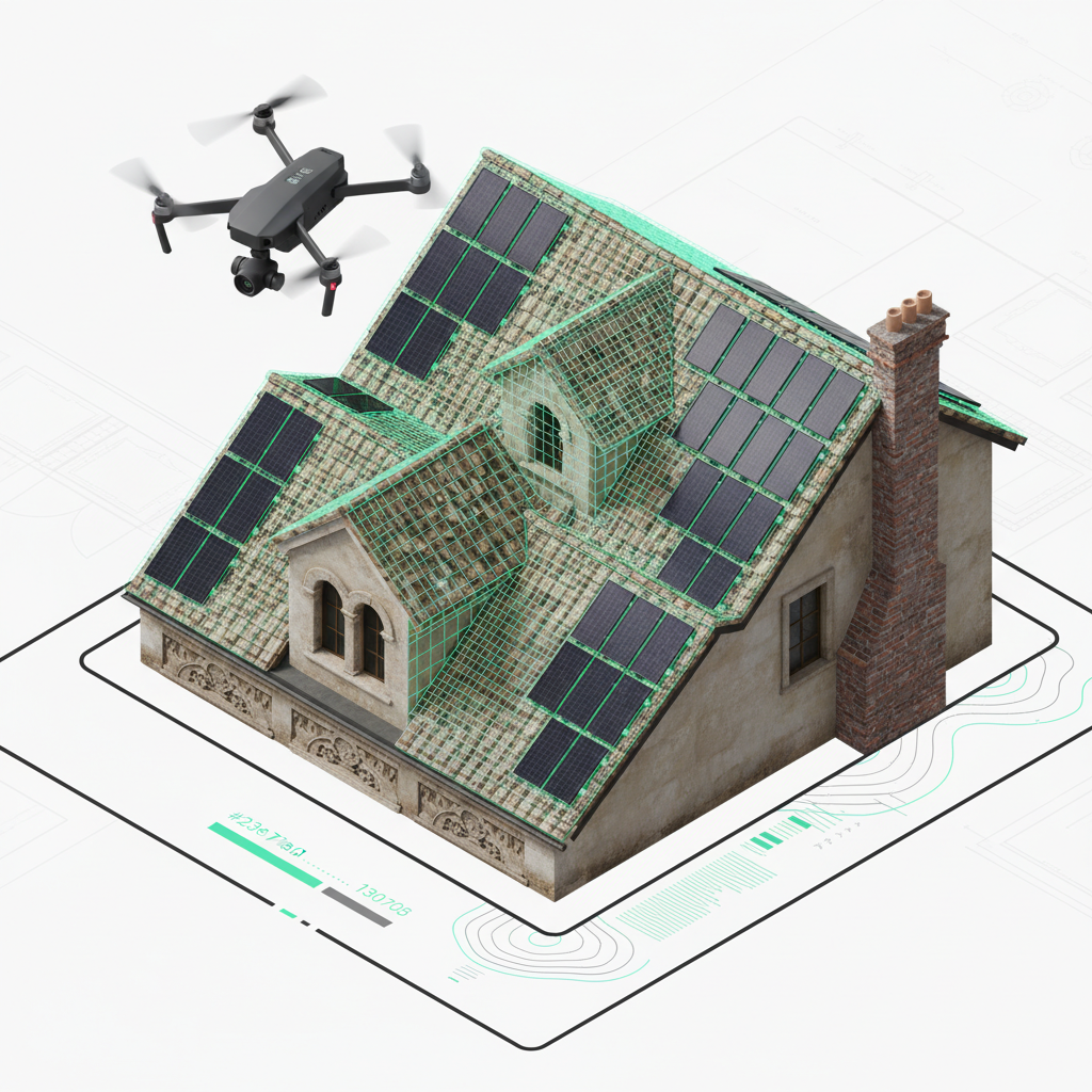
4. Digital roof surveying: the foundation of reliable PV design on existing buildings
4.1 What does "digital roof surveying" mean?
In digital roof surveying, the building is captured from multiple perspectives using a drone. From hundreds of individual images, AI-supported photogrammetry creates a 3D model with centimeter-level accuracy, typically with:
- accuracy of up to 99.9%,
- a tolerance of only 1-3 cm,
- complete capture of all relevant roof details (dormers, valleys, intersections, chimneys, roof windows).
With the Airteam Fusion platform, this model is available within 24 hours in compliance with relevant standards - including surface analysis.
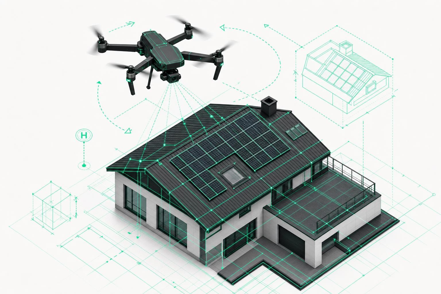
4.2 Why drone-based surveying is ideal for older and existing roofs
Using a drone to survey the roof offers clear advantages, especially for existing buildings:
- up to 90% time savings (a 5-minute flight instead of 2-4 hours on the roof),
- no need to step on the roof - no risk to staff or tiles being damaged,
- precise data even for hard-to-access roofs or steep pitches,
- complete 3D documentation of the existing structure as evidence and as a basis for future refurbishments or extensions.
4.3 Seamless integration with your PV design software
Raw geometry data only delivers its full value once it is integrated into your planning workflow. Airteam offers, among other things:
- export to more than 15 planning formats (DXF/DWG, IFC, and more),
- direct integrations with leading PV tools such as:
PV*SOL, Eturnity, SolarEdge Designer, PVcase, - a cloud-based workflow: view the 3D model in your browser, share it, and continue working with it directly in your software.
This transforms PV design on older buildings from error-prone manual work into a repeatable, digital process.
5. Real-world example: PV planning on an older building - from drone flight to finished layout
A typical workflow for planning a PV system on an existing roof might look like this:
Project intake
An older multi-family home with a steep gabled roof, several dormers, and a side extension. Objective: maximize PV output for a tenant electricity model.
Roof survey by drone
A 5-10-minute flight captures the entire roof from the air. No ladders, no scaffolding, no walking on the old roof.
Digital analysis in Airteam Fusion
Within 24 hours, a centimeter-accurate 3D roof model is available, including classified surfaces, dormers, valleys, and rooftop structures.
Export to PV software
With one click, the roof data is exported to PV*SOL, Eturnity, or similar tools.
Module layout, shading analysis, and yield calculations are based on real geometry instead of approximations.
Proposal and implementation
The proposal includes realistic visualizations, precise bills of materials, and robust yield simulations - a clear advantage over competitors working with rough estimates.
Result:
Fewer revisions, fewer surprises on site, and a higher close rate.
6. Best practices for PV design on existing roofs and during refurbishment
Especially in the context of refurbishing existing buildings, it pays to take a strategic approach to PV planning:
-
Capture the existing condition early
Schedule a digital roof survey as early as possible - ideally before you finalize the scope of refurbishment. -
Assess structural capacity properly
With exact roof areas and load distribution, you can evaluate additional loads reliably. -
Think in 3D for complex roof geometries
Always work with 3D models when dormers and extensions are involved. -
Use a shared data basis for all trades
Roofers, scaffolders, structural engineers, PV designers, and other stakeholders should all work from the same model. -
Align PV planning with the refurbishment roadmap
If the roof is being renewed anyway, the substructure can be optimized for the PV system.
7. FAQ: PV planning on older and existing roofs
How does a digital roof survey with a drone work?
- Fly the drone (5-10 minutes).
- Upload the images to the Airteam Fusion platform.
- AI generates a standards-compliant 3D roof model within 24 hours.
- Export the data to PV or CAD software.
How accurate is a drone-based roof survey?
RTK/PPK-enabled drones achieve accuracy of 2-3 cm; with AI-based analysis, overall accuracy can reach up to 99.9%.
Is digital roof surveying worthwhile for smaller projects?
Yes. Especially on complex existing roofs, a drone-based survey saves time, reduces errors, and delivers professional visualizations.
Conclusion: PV design on older buildings requires digital precision
Designing PV systems on older and existing roofs is demanding - but not risky if the data foundation is solid.
Those who continue to work with a tape measure, ladder, and rough estimates risk:
- inaccurate proposals,
- costly rework,
- unnecessary safety risks for their team.
With digital roof surveying and drone-based measurements, you get instead:
- centimeter-accurate 3D models instead of gut feeling,
- up to 90% less time spent on measurements,
- direct integration with PV and CAD software,
- full 3D documentation of the existing building.
Anyone who wants their PV planning on existing buildings to be scalable, safe, and economical should switch to a digital workflow now.
Next step
Try digital roof surveying and PV planning with Airteam Fusion - and see how straightforward precise planning on older and existing roofs can be today.