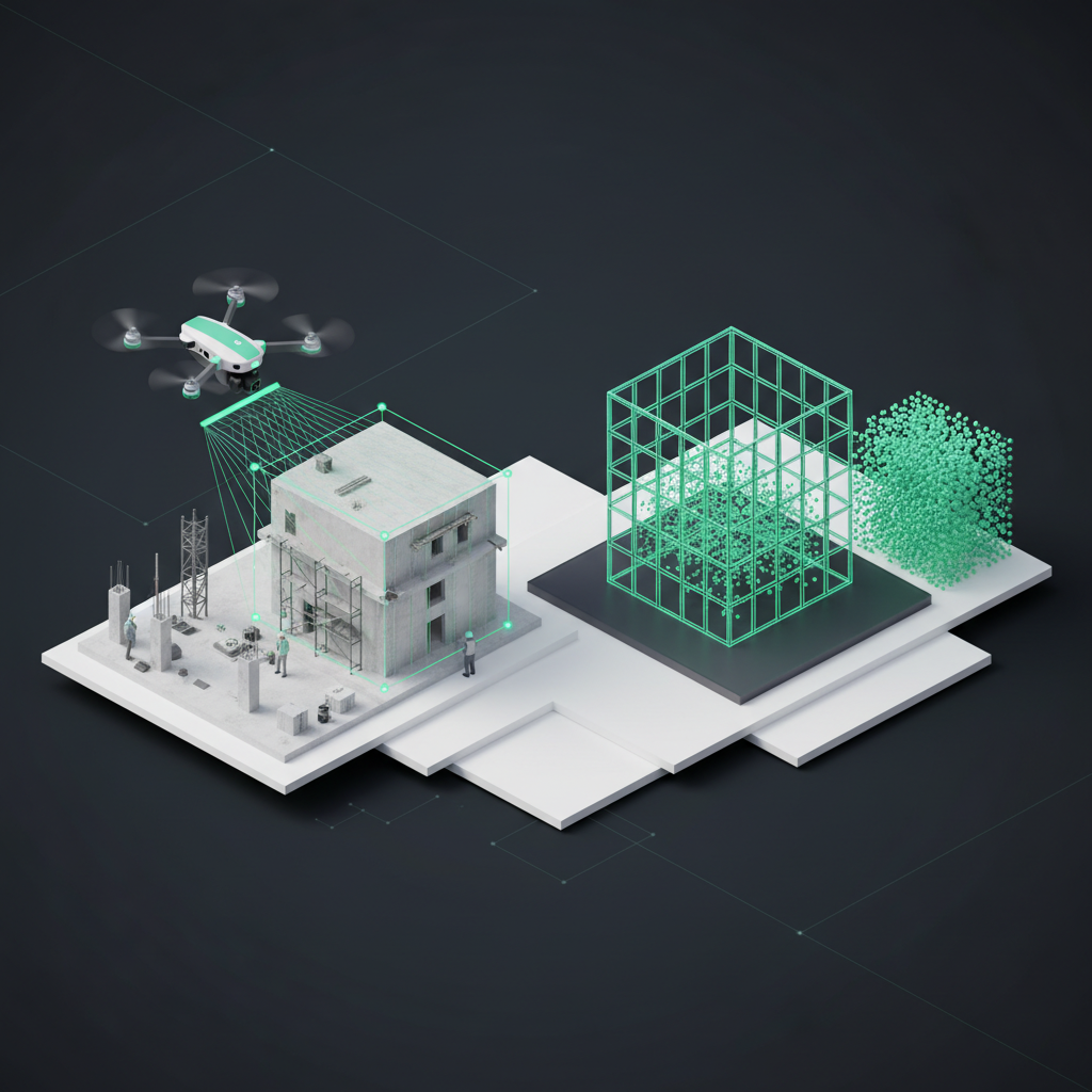
Drone surveying is transforming the construction sector with time savings of up to 95% (equivalent to a 60x efficiency boost), centimeter-level accuracy, and results that comply with established surveying standards. Modern RTK drones achieve a relative vertical accuracy of 2 cm and a relative horizontal accuracy of 1.20 cm, as confirmed in a DroneDeploy study on the DJI Phantom 4 RTK published by heliguy™. This in-depth comparison helps trade businesses choose between full-service providers, software solutions, and local surveying contractors.
The three main categories of drone surveying providers
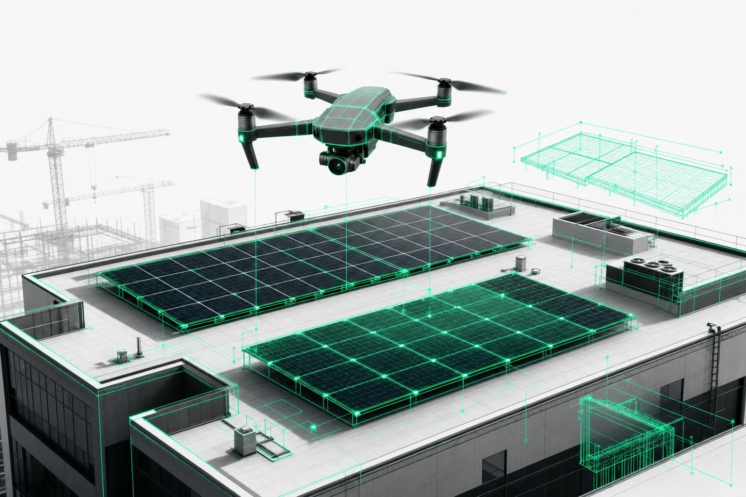
Full-service providers with pilot networks
Full-service providers such as Airteam offer an all-in-one solution for trade businesses without in-house drone expertise. These providers handle the entire workflow from flight to finished planning file.
Scope of services in detail:
- Hardware included: Professional RTK drones with centimeter-level precision are bundled in the package, with no upfront purchase costs
- Pilot network: Nationwide availability of certified drone pilots for short-notice deployments
- Cloud software: Browser-based platform with no installation or CAD skills required
- Standards-compliant results: Automatic compliance with DIN 18740-4 for digital cameras on aerial platforms, including drones
- Direct software export: Seamless integration with MF Dach, PV*SOL, Eturnity, SketchUp, and AutoCAD
The primary target group includes roofers, solar installers, and trade businesses that want to get started quickly. A major advantage is immediate readiness for use without lead time for training or approvals.
Pricing models of full-service providers:
- Starter flat rates: Monthly packages for occasional use starting in the low three-digit range
- Professional packages: More extensive bundles depending on project volume and service scope
- Starter kits: One-time complete packages including drone, training, and several months of access
- Credit systems: Flexible billing based on actual usage
Turnaround times are a key advantage: 3D models are available within 24 hours thanks to automated processing pipelines, while detailed planning data is typically delivered within 2-7 business days.
Standalone software solutions for in-house use
Software solutions are aimed at surveying firms and larger construction companies with their own IT capabilities. The main players-PIX4D, Agisoft Metashape, and DJI Terra-require substantial upfront investment.
Cost structure for software solutions:
- Annual software licenses: Several thousand euros per year (software only, without hardware)
- Drone hardware: Additional significant investment in professional RTK systems
- Training costs: Extensive photogrammetry training required
- IT infrastructure: High-performance workstations needed for complex calculations
A major drawback is the complex workflow and the fact that the software is often only available in English. Support is frequently charged separately, and in-house processing can take 1-3 days depending on project complexity and hardware performance.
Challenges with in-house operation:
- High initial investment: Significant up-front costs for full equipment
- Steep learning curve: Several months before reaching a professional level of use
- Permitting burden: Full responsibility for pilot certification and flight permissions
- Support limitations: Often only available in English and with limited responsiveness
Local surveying service providers
Regional surveying firms that offer drone services provide personal contact and flexible project handling. Costs vary widely depending on region and provider.
Typical pricing models:
- Daily rates: Market-standard rates for professional surveying services
- Project-based pricing: Billing according to project size and complexity
- Additional costs: Travel, post-processing, and special services often charged separately
Advantages include regional expertise and flexible scheduling. Drawbacks are limited availability and varying quality standards between providers.
Decision criteria in detail
Accuracy and standards
Measurement accuracy is a critical criterion when selecting a provider. Modern RTK drones deliver accuracies comparable to traditional surveying methods.
Accuracy levels at a glance:
- RTK drones: 1-3 cm horizontal and vertical accuracy under optimal conditions
- Standard photogrammetry: 3-5 cm accuracy, sufficient for most trade applications
- Ground Control Points: Further accuracy improvement down to sub-centimeter level possible
- DIN 18740-4 compliance: Legally equivalent to traditional surveying methods
DIN 18740-4 defines standards for digital cameras on aerial platforms, including drones, in construction applications. Professional providers supply corresponding certificates and quality reports that are admissible in court.
Turnaround times compared
Processing times vary significantly between provider types and have a direct impact on project execution.
Processing time comparison table:
| Provider type | 3D model | Planning data | Particularities |
|---|---|---|---|
| Full-service provider | 24 hours | 2-7 business days | Automated pipeline |
| In-house software processing | 4-24 hours | 1-3 days | Dependent on hardware |
| Local service providers | 2-5 days | 3-7 days | Variable workload |
Full-service providers stand out with automated processing pipelines and 24-hour delivery, while in-house processing times depend heavily on available hardware. Local providers are often affected by their current workload.
Understanding cost models
Cost structures differ fundamentally between provider types and require a careful ROI assessment.
Cost breakdown by usage intensity:
- Occasional use: For a few projects per year, local service providers can be more cost-effective
- Regular use: Full-service providers often offer the best price-performance ratio
- Heavy use: For very frequent usage, an in-house software solution can pay off
Hidden costs with local providers often include travel expenses, weather-related delays, and post-processing fees.
Software integrations and workflow compatibility
Standard formats and export options
Seamless integration into existing planning software is crucial for the practical use of drone data.
Key file formats for tradespeople:
- CAD integration: DWG, DXF for AutoCAD, SketchUp, and ArchiCAD
- PV planning software: Direct export to PV*SOL, SolarEdge Designer, and Sunny Design
- Roofing software: MF Dach, CSV exports for quantity takeoff
- BIM compatibility: IFC export for Building Information Modeling
- Surveying formats: LAS point clouds, georeferenced orthophotos
Full-service providers such as Airteam offer more than 15 different export formats, covering most trade-focused software systems.
Workflow integration in trade businesses
Successful adoption requires a well-thought-out digital process chain from incoming request to invoicing.
Optimized workflow sequence:
- Order intake: Customer inquiry via email or on-site appointment
- Drone flight: In-house flight or pilot booking within 24-48 hours
- Data processing: Automated AI pipeline generates a 3D model
- Quality control: Validation of measurement data for plausibility
- Software export: Direct transfer into estimating and calculation software
- Quote creation: Precise quantity takeoff for competitive pricing
Digital surveying shortens this process by up to 95% compared to traditional methods.
Industry specialization and use cases
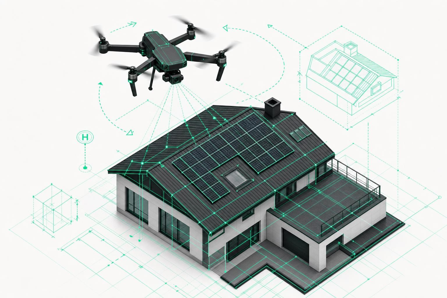
Roofers and roofing companies
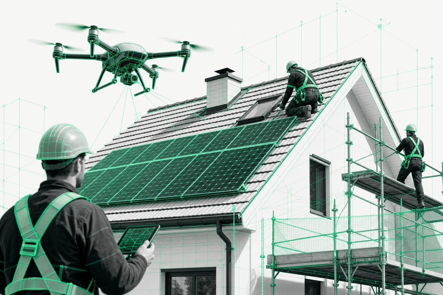
Roofing contractors benefit especially from the time savings and safety improvements of drone surveying.
Specific advantages for roofers:
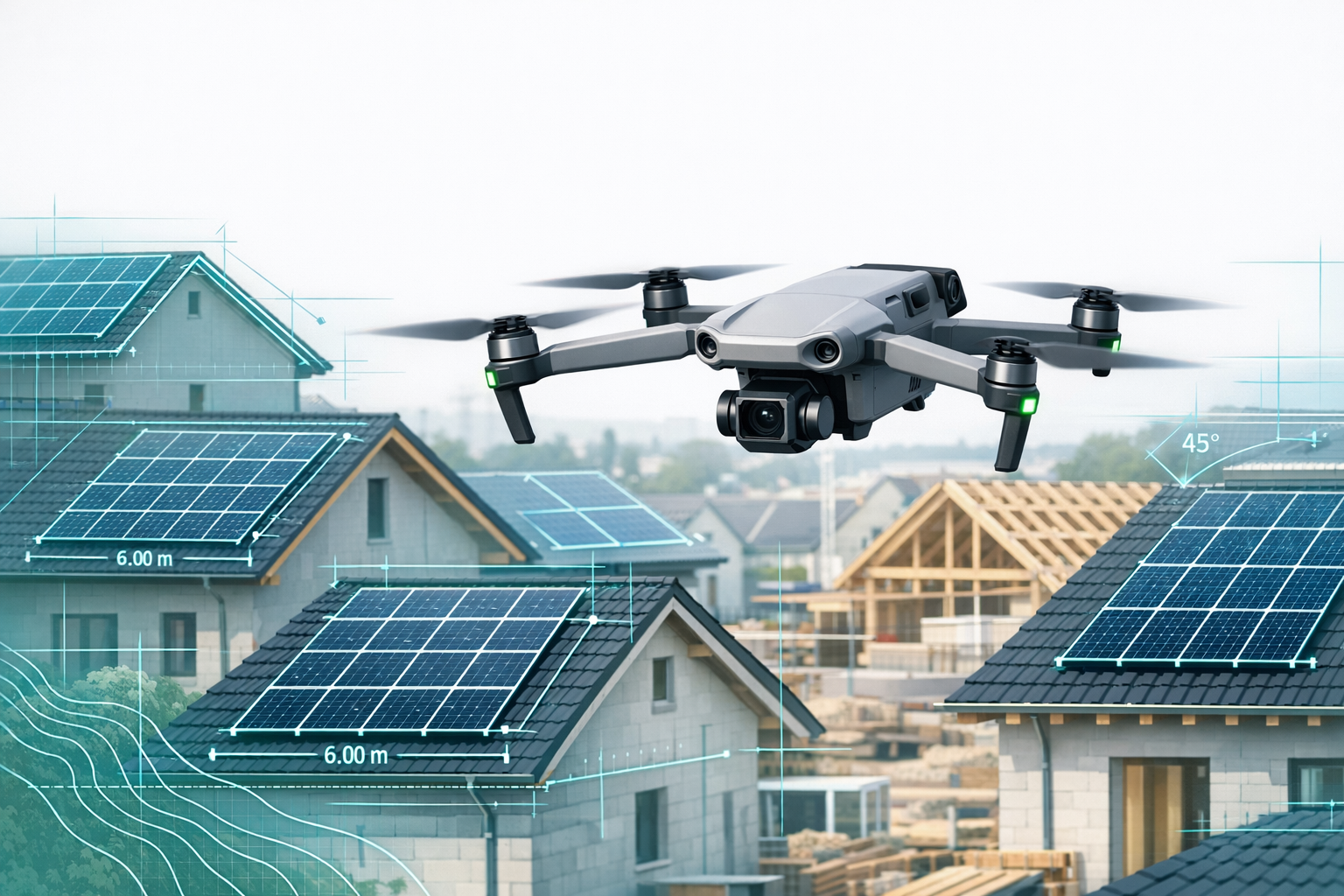
- Highly accurate roof surveys: Automatic calculation of areas, valleys, and dormers
- Improved safety: Elimination of hazardous roof walks and ladder work
- MF Dach integration: Direct transfer of quantities into calculation software
- Damage documentation: Detailed condition records for insurance purposes
A real-world example: large properties with several thousand square meters that previously required several days of manual measuring can now be captured in around 45 minutes.
Solar installers and PV contractors
The solar industry uses drone surveying to optimize system design and sales processes.
PV-specific planning requirements:
- Shading analysis: Automatic detection of chimneys, antennas, and neighboring buildings
- Module placement: Optimal layout for maximum energy yield
- Structural assessment: Evaluation of roof structure and load-bearing capacity
- Software integration: Direct export to PV*SOL, Eturnity, and SolarEdge Designer
3D visualization demonstrably increases conversion rates in customer meetings because complex designs can be presented in an intuitive and transparent way.
Scaffolding contractors and construction companies
Scaffolding companies use drone surveying for precise facade measurements and material estimation.
Scaffolding applications:
- Facade measurement: Centimeter-level height and area determination
- Quantity calculation: Automatic computation of scaffolding quantities and accessories
- Construction progress monitoring: Regular documentation of complex job sites
- Safety planning: Risk analysis for hard-to-reach facades
Digital documentation significantly reduces change orders and disputes.
Technical equipment and hardware requirements
Comparing drone hardware
The choice of the right drone has a major impact on accuracy and use cases.
Recommended drone models:
- DJI Phantom 4 RTK: Proven system with 2 cm accuracy, ideal for standard applications
- DJI Mavic 3 Enterprise RTK: Compact and portable with professional accuracy
- DJI Matrice 300 RTK: High-end system for large projects and demanding conditions
- Sensor technology: RGB cameras for standard photogrammetry, LiDAR for complex geometries
Flight times range from 25-40 minutes depending on the model, which is sufficient for most trade projects.
IT infrastructure and system requirements
Software solutions require powerful hardware for data processing.
Minimum hardware requirements for photogrammetry:
- Processor: At least 6 cores, 3+ GHz for smooth processing
- Memory: 32-64 GB RAM recommended for large datasets
- Graphics cards: GPU acceleration can cut processing times by 70-80%
- Storage: SSD drives required for fast data access
Cloud-based full-service providers eliminate these hardware requirements entirely.
Legal aspects and permits
Simplifying the permitting process
Legal hurdles for drone operations vary considerably depending on provider type.
Responsibility for permits by provider type:
- Full-service providers: Handle the entire permitting process; no responsibility on the client side
- Software solutions: Full responsibility for pilot certification, insurance, and flight permissions lies with the business
- Local service providers: Usually experienced in dealing with regional authorities and approval procedures
Approval processes typically take 5-10 business days and incur regional fee differences.
Insurance and liability
Professional drone operations require comprehensive insurance coverage.
Key insurance considerations:
- Drone liability insurance: High coverage limits with professional providers
- Aviation insurance: Damage coverage for the drone and associated equipment
- Data protection compliance: GDPR-compliant image capture and data storage
Full-service providers assume the complete liability risk, while separate insurance policies are required for in-house operations.
Practical guide: Which provider type is right when?
Decision matrix for trade businesses
The right provider type depends on company size, usage frequency, and available resources.
Recommendation by project volume:
| Projects/year | Recommended provider type | Rationale |
|---|---|---|
| < 10 | Local service provider | Low fixed costs |
| 10-30 | Full-service provider | Optimal price-performance ratio |
| 30-50 | Full-service or software | Depends on IT capabilities |
| > 50 | Software solution | More cost-effective in the long term |
ROI calculation and payback
A solid cost analysis reveals clear differences between provider types. Software solutions have high upfront costs but can pay off with intensive use. Full-service providers offer predictable monthly costs without tying up capital, while local providers bill on a project basis.
Quality and accuracy control
Standards and testing procedures
Professional drone surveying follows established quality standards from the surveying industry.
Relevant quality standards:
- DIN 18740-4: Specific standard for digital cameras on aerial platforms, including drones, in construction
- Ground Control Points: Physical survey points for accuracy validation
- Check points: Independent reference points for quality control
- Quality reports: Documentation of accuracy and methodology
Surveys conducted in compliance with DIN standards are legally equivalent to traditional methods and are admissible in court.
Sources of error and quality assurance
Various factors influence measurement accuracy and require appropriate quality measures.
Common sources of error:
- Weather conditions: Wind above 10 m/s and strong solar glare reduce accuracy
- Image quality: Insufficient overlap (< 70%) leads to model errors
- Calibration: Incorrect sensor parameters cause systematic deviations
- Post-processing: Inappropriate software settings impair result quality
Professional providers implement automated quality checks and manual reviews.
Frequently asked questions (FAQ)
How accurate is drone surveying compared with traditional methods?
Modern RTK drones achieve accuracies of 1-3 cm and are therefore comparable to GPS-based ground surveys. The DJI Phantom 4 RTK demonstrably achieves 2 cm vertical and 1.20 cm horizontal accuracy. Under optimal conditions, sub-centimeter accuracies are possible, which exceed typical practical requirements in the trades by a wide margin.
What costs can a mid-sized roofing company expect?
Costs vary depending on provider type and usage frequency. Full-service providers offer monthly packages without high upfront investment, while in-house software solutions involve significant initial costs but can pay off with heavy usage. Occasional use of local service providers is billed on a project basis. A detailed cost analysis should always be carried out for each specific project.
How long does it take to create a digital roof survey?
The drone flight itself takes 15-45 minutes depending on building size and complexity. With full-service providers, automated pipelines deliver 3D models within 24 hours and detailed planning data within 2-7 business days. In-house software processing typically takes 1-3 days depending on hardware capacity and project complexity.
What legal hurdles are there when using drones?
Drones weighing more than 250 g require an EU pilot certificate and flight permissions in controlled airspace. Full-service providers handle all approvals and assume liability. For in-house drone operations, businesses must organize pilot training, insurance, and permits themselves. Approval processes typically take 5-10 business days.
Are the measurement results standards-compliant and admissible in court?
Professionally conducted drone surveys comply with DIN 18740-4 for digital cameras on aerial platforms, including drones, and are legally equivalent to traditional surveying methods. Crucial factors include calibrated RTK systems, Ground Control Points, and proper documentation. Reputable providers supply corresponding certificates and quality reports that hold up in court.
Which software integrations are important for trade businesses?
Key integrations include exports to industry-specific software: MF Dach for roofers, PV*SOL and SolarEdge Designer for solar contractors, and AutoCAD and SketchUp for designers and planners. Full-service providers support more than 15 file formats, whereas pure photogrammetry software often only offers standard formats. Seamless integration significantly reduces transfer errors and working time.
Sources & facts
[S1] HeliguyTM - DJI Phantom 4 RTK Accuracy Confirmed (2019). https://www.heliguy.com/blogs/posts/dji-phantom-4-rtk-accuracy-confirmed/
[S2] The Drone Girl - DJI Phantom 4 RTK Accuracy Study Results (2019). https://www.thedronegirl.com/2019/03/29/dji-phantom-4-rtk-2/
[S3] Airteam - Digital Drone Measurement for Roof Surveying (2024). https://www.airteam.ai/en/blog/ratgeber-dachaufmass-drohnen-vermessung
[S4] Drone Pilot Ground School - Drone Services Pricing Guide (2024). https://www.dronepilotgroundschool.com/drone-services-pricing/
[S5] HeliguyTM - Traditional Surveying vs Drone Surveying Comparison (2023). https://www.heliguy.com/blogs/posts/traditional-surveying-vs-drone-surveying/
[S6] Pilot Institute - Comprehensive Guide to Drone Mapping (2024). https://pilotinstitute.com/drone-mapping-2/
[S7] UAV Coach - Drone Services Pricing Strategies (2024). https://uavcoach.com/drone-services-pricing/
[S8] Pix4D - Pix4Dmapper Pricing Structure (2024). https://www.pix4d.com/pricing/pix4dmapper