Around 9,000 workplace accidents every year in roofing alone - many of them caused by falls from ladders, scaffolding, and roofs[1]. At the same time, pressure is rising: quotes have to go out faster, customers expect precise data, and the skilled worker shortage makes every hour saved incredibly valuable. It's no surprise that more and more roofers, carpenters, and solar installers are moving away from traditional tape-measure-and-ladder surveying - and switching to drone-based surveying instead.
But how big are the differences in practice? And is the switch worthwhile for smaller companies as well? In this article, we compare both methods using the criteria that really matter day to day: time, safety, accuracy, and cost.
Manual surveying: Proven, but with clear limitations
Manual roof surveying has been standard practice in the trades for decades. Armed with a ladder, tape measure, laser distance meter, and sketch pad, a team climbs onto the roof, measures areas, slopes, and edges, and then transfers the values into a calculation or design program.
The weaknesses of this process are well known:
- Time-consuming: Manually measuring the roof of a typical single-family home takes 2 to 4 hours - not including travel time or subsequent data entry.
- Error-prone: Hand-drawn sketches, missing dimensions, and transcription errors regularly lead to rework, costly corrections, or inaccurate quotes.
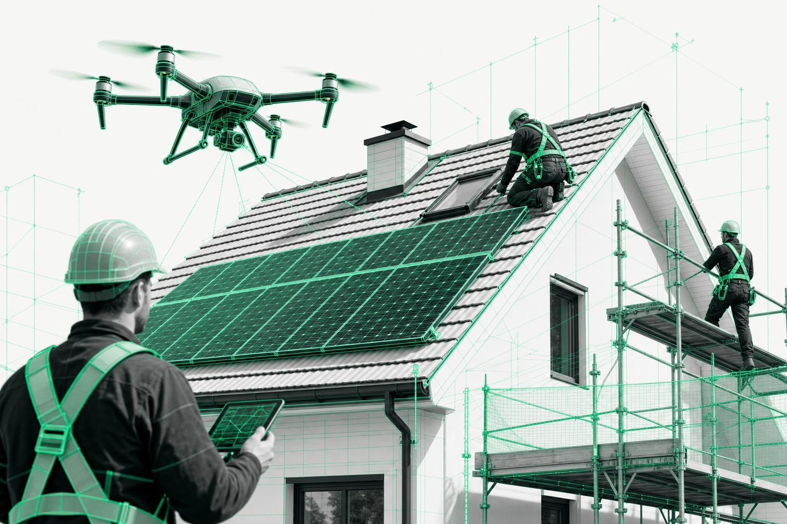
- Safety risks: Roofing is one of the four highest-risk trades in construction, as confirmed by BG BAU[1]. Fall accidents account for almost one third of all fatal workplace accidents on construction sites - ladders, scaffolding, and roofs are the most common accident locations[2].
- Personnel-intensive: For safe roof access you typically need at least two people on site.
With a full order book, these disadvantages add up quickly - and become a real competitive disadvantage.
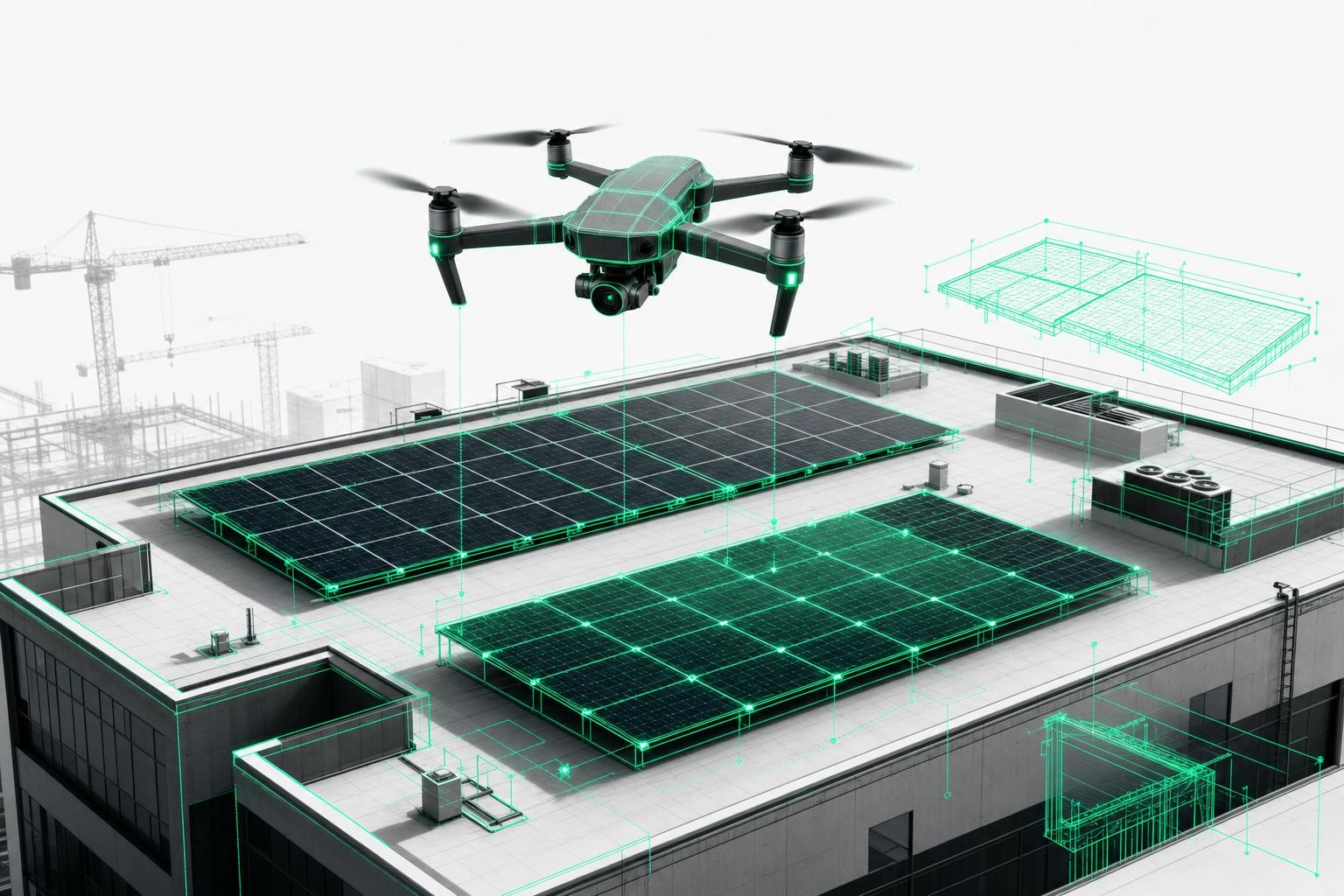
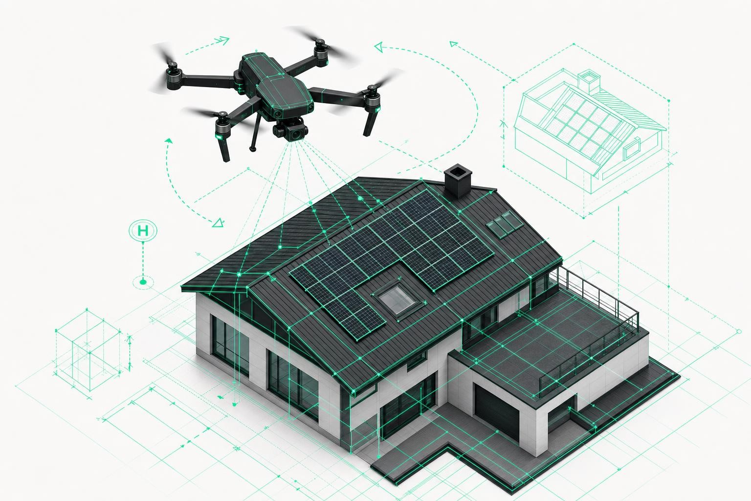
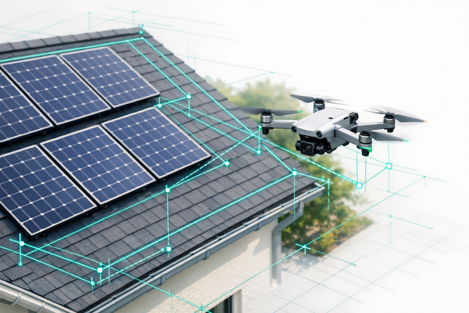
Drone surveying: How the digital alternative works
With drone-based surveying, a drone captures the building from the air on a controlled flight path. From the photos taken, AI-powered software such as the Airteam Fusion Platform generates a precise 3D building model - including all surfaces, slopes, edges, and roof structures.
The process is divided into three steps:
- Drone flight: One person flies the drone once around the building - time required for a single-family home: approx. 15 to 30 minutes.
- Upload & AI processing: The images are uploaded to the cloud. Within a few hours, and at most within 24 hours, a 3D model compliant with DIN standards is created.
- Data export: The finished measurement data can be exported directly into industry software such as PV*SOL, MF Dach, AutoCAD, or SEMA - with no manual retyping.
Anyone who wants to see the process in detail can find a step-by-step guide in the article 3D building surveying with drones for trades businesses.
The direct comparison: Manual vs. drone
The table makes it clear: drone-based surveying scores in almost every category - especially when it comes to time savings, safety, and digital further processing. Only in terms of weather conditions are both methods similarly limited.
Real-world example: What the switch means in day-to-day operations
Master roofer Benjamin Harnack confirms this from his own business: since switching to drone surveying, follow-up site visits just to remeasure have disappeared completely. Quotes are based on digitally precise data, and dangerous ladder climbs are a thing of the past. Additional success stories show that these advantages apply across trades - from roofers and carpenters to solar installers.
A more in-depth comparison of different surveying methods shows that AI-supported roof measurement is not only faster, but also more accurate than manual approaches.
Is the switch worth it? Calculate it for yourself
The key question for every business: At what point does the investment pay off? Use our interactive calculator to find out exactly how much time and money you can save by switching to drone-based surveying:
With regular use, the investment in the drone and software typically pays for itself within 3 to 6 months - after that, every hour saved is pure profit. Airteam offers flexible flat rates and per-project options that can be tailored to your company's project volume.
Conclusion: The future of construction surveying is digital
Manual surveying has served the trades well for a long time. But with growing demands for speed, precision, and occupational safety, tape measures and ladders are reaching their limits.
Drone-based surveying is a genuine alternative - not a gimmick for tech enthusiasts, but a proven, practical tool with measurable added value:
- Up to 90% time savings per survey
- No fall hazards - all measurements taken from the ground
- DIN-compliant accuracy with tolerances as low as ±1-3 cm
- Seamless data flow into existing planning and design software
Trades businesses that want to stay competitive, calculate faster, and work more safely will find it increasingly hard to ignore drone-based surveying.