Commercial drone footage is an integral part of many construction and real estate projects in 2026: precise drone surveying for roofs and facades, 3D models for BIM, impactful aerial imagery for real estate marketing, and comprehensive construction progress documentation all boost efficiency and planning accuracy.
In this guide, you will learn step by step:
- how to integrate drone services effectively into projects
- how drone-based 3D surveying works and what level of accuracy is achievable
- how to use drones professionally for construction progress tracking, as-built documentation, and real estate marketing
- when an external drone service makes sense and when investing in your own hardware is the better choice
This enables you, as a site manager, project developer, or property manager, to make informed decisions on how to integrate drone footage into existing workflows - for more efficiency and transparency.
Prerequisites: What to clarify before your first drone deployment
Before you commission your first flight or take off yourself, you need to define the basics.
1. Clarify objectives and use cases
Typical use cases in construction and real estate:
- Drone surveying / 3D surveying of roof, facade, and terrain
- Documenting construction progress (time-lapse, planned vs. actual comparison, claim management)
- Digital as-built documentation for refurbishment or ESG reports
- Aerial real estate photography (photos, videos) for listings and marketing
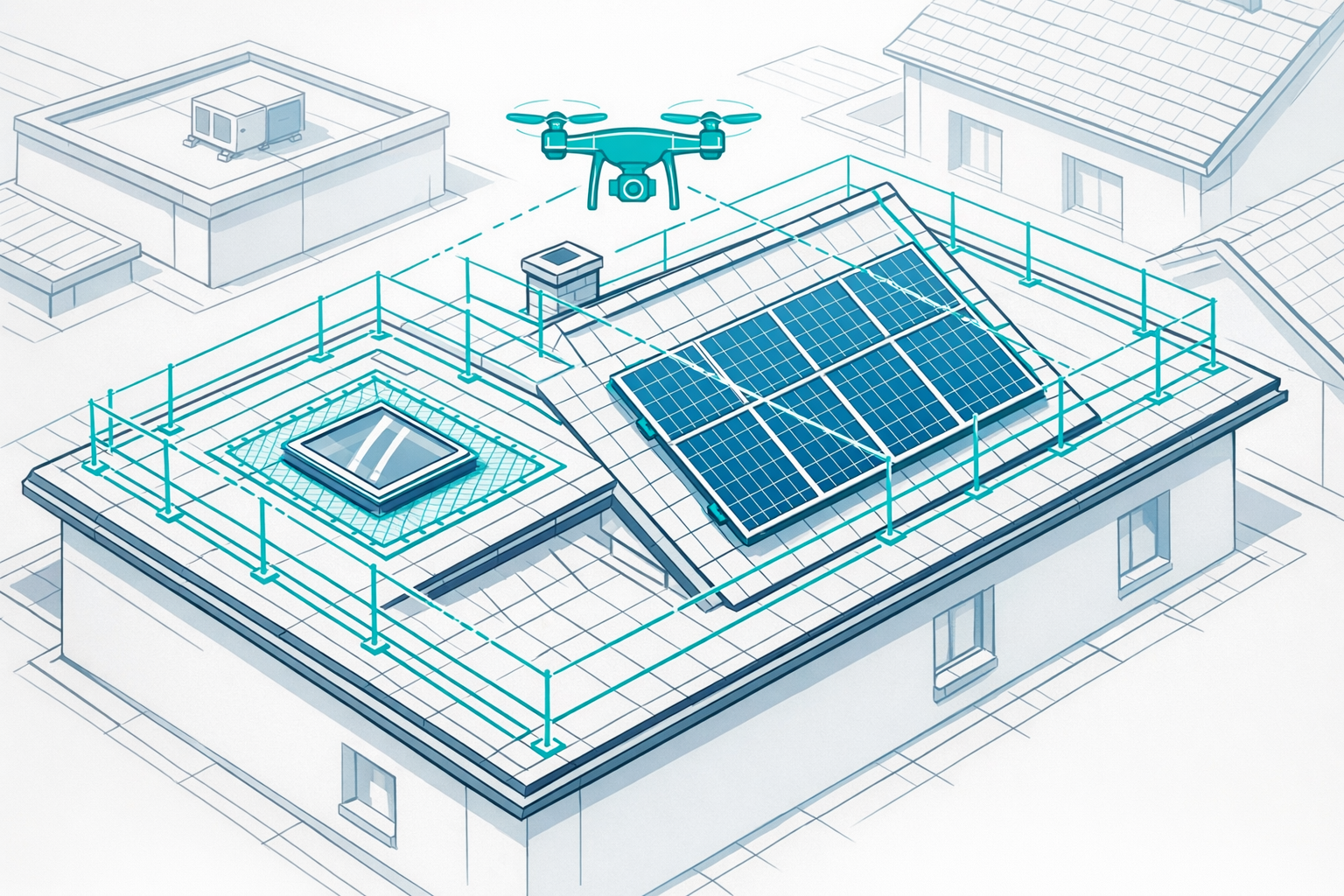
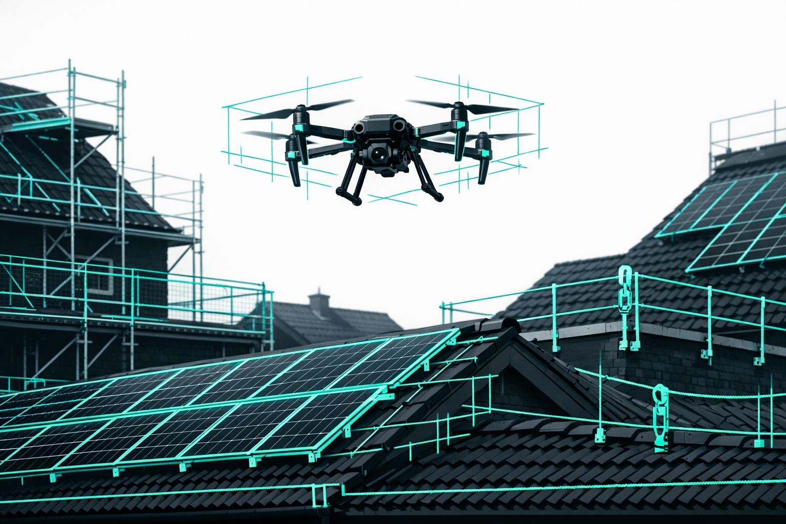
- Inspection and maintenance (roofs, solar systems, facades)
A clearly defined use case makes it easier to choose the right hardware, service, and data format later on.
2. Check legal requirements
In commercial operations, you must comply with the EU Drone Regulation, aviation law, and data protection rules, among others. Clarify, for example:
- Will you be flying over developed areas or near people?
- What weight class is the drone in?
- Is a certificate of competence (A1/A3/A2) required?
- Are special permits needed (e.g., control zones, critical infrastructure)?
You can find more details in the Airteam blog guides on drone licenses and no-fly zones.
3. Technical and organizational foundations
Before you start, make sure you know:
- Who is responsible internally (project management/technical/HSE)?
- Who will handle flight planning, permits, and coordination with owners/neighbors?
- How will data be stored, archived, and shared (BIM, CAFM, solar design or CAD software)?
Step 1: Define the right use case for drone footage
Construction and real estate projects benefit from four proven scenarios.
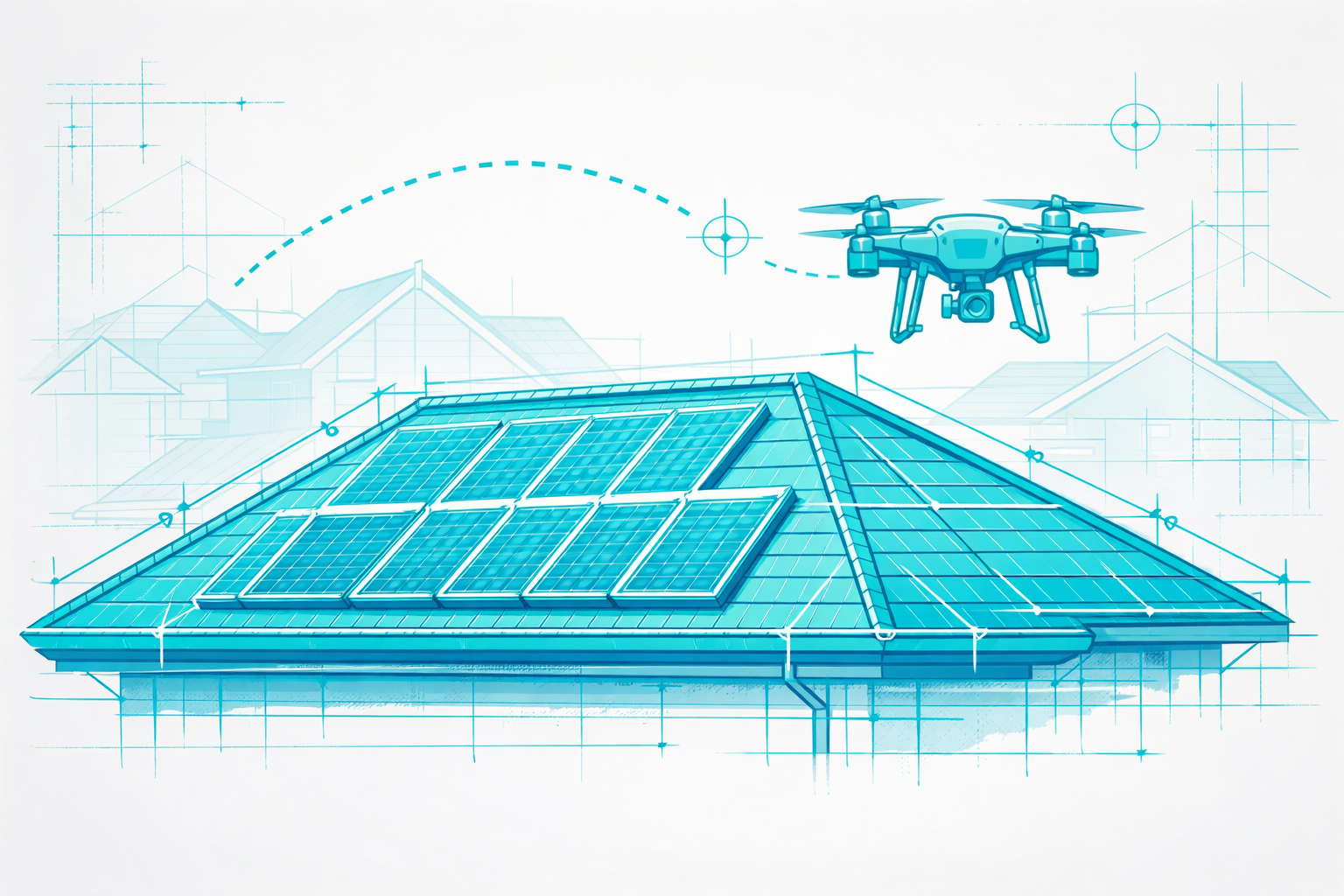
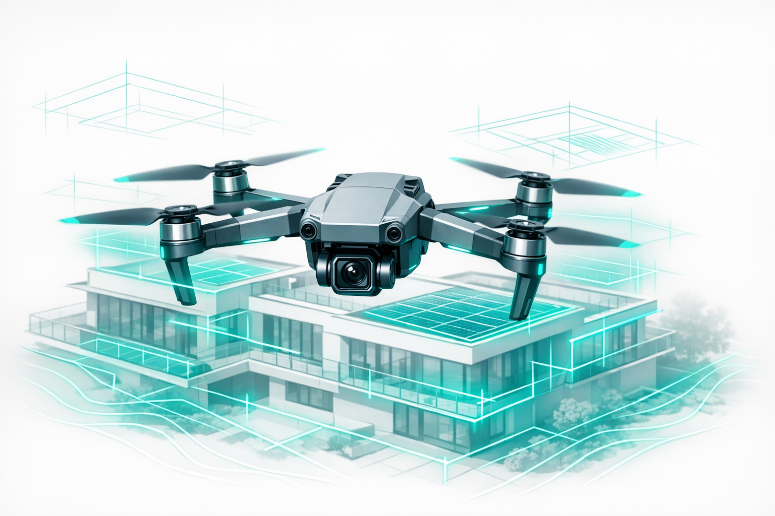
1.1 Drone surveying and 3D building modeling
For roof refurbishment, solar planning, scaffolding design, or facade projects, precise, standards-compliant measurements are crucial. Modern AI-powered photogrammetry platforms such as the Airteam Fusion platform automatically generate 3D models and digital measurements from overlapping images.
Drone surveying with AI photogrammetry often delivers full 3D models within 24 hours of the flight in real-world projects
Advantages:
- Exact lengths, areas, and slopes ready for immediate use
- Automatic detection of components such as dormers, valleys, and ridges
- Export to common formats (e.g., DXF/DWG, solar software, BIM)
Tip: Read the guide to 3D building surveying with drones in 5 steps for a deeper dive.
1.2 Documenting construction progress
With regular drone flights (e.g., every 2-4 weeks):
- You document construction progress (photos/videos, orthophotos, 3D models)
- You coordinate subcontractors more precisely
- You provide solid evidence for claim management and change orders
- You simplify coordination with clients and authorities
Depending on the project, a simple orbit flight may be sufficient, or you might use a systematic grid flight for 2D/3D analysis.
1.3 Aerial imagery for real estate marketing
Drone-based aerial imagery is ideal for:
- Listings and project websites
- Brand videos of neighborhoods or business parks
- Before-and-after documentation
Additional 3D models enable animations and virtual walk-throughs - ideal for visualization and marketing.
1.4 Digital as-built documentation and portfolio management
Residential housing companies and asset managers use drones to:
- Capture roof and facade areas for refurbishment planning
- Plan energy-related upgrades (solar, insulation) efficiently
- Support ESG reporting and technical due diligence
Airteam customers in the residential sector use precise 3D models to plan refurbishments more efficiently and save several working days per project.
Step 2: Drone service vs. in-house operation - choosing the right setup
You have two main options for using commercial drone footage:
2.1 Commission an external drone service
This is suitable if you:
- only need drone footage occasionally
- operate in complex airspace or around sensitive assets
- want to get started without investing in your own hardware
Typical workflow with a full-service provider:
- You define objectives and scope (e.g., 3D roof survey).
- The provider checks the airspace and obtains permits.
- A pilot flies the mission, and images are processed, for example, using the Airteam Fusion platform.
- You receive models, plans, and reports in the required formats.
2.2 Use your own drone plus cloud software
For regular deployments, an in-house operation is recommended - especially for roofing, solar, or real estate companies.
Advantages:
- Flexible scheduling
- Fast response times (e.g., after storm damage)
- Better utilization within the company
Airteam offers starter kits including drone, accessories, training, and access to the Fusion platform.
With Airteam's AI-powered 3D building surveying, you can cut the time needed for measurements by up to 90%
Tip: For large roofs, industrial sites, or solar farms, pay attention to long flight times, an RTK module, and robust sensors.
Step 3: Plan the flight and data collection
Good planning ensures data quality and efficiency.
3.1 Object analysis and flight path
- Object type: single-family home, perimeter block, industrial site, high-rise, neighborhood
- Safety distances: from people, roads, neighbors
- Take-off/landing zone: easily accessible with clear line of sight
For 3D surveying:
- Altitude flight (top-down, orthophoto)
- Facade flight (oblique around the building)
3.2 Flight parameters for surveying and 3D models
For precise results:
- Maintain high image overlap (70-80%)
- Use low flight altitude for high detail
- Maintain constant speed to avoid motion blur
Drone imagery can reach sub-centimeter ground resolution per pixel, while satellite images typically offer only 30-50 cm per pixel
Tip: Use automated mission flights with fixed routes for reproducible quality, especially when documenting progress regularly.
3.3 Safety and communication
- Inform owners, property management, and tenants in advance
- Clearly identify flight operations (high-visibility vest, notice sign)
- Define emergency procedures (abort, return-to-home, contact person)
Step 4: Execute drone flights - best practices
Pre-flight checklist:
- Batteries charged, propellers and sensors checked
- Memory card formatted, sufficient capacity available
- Home point set, return-to-home altitude verified
- Weather checked (wind, rain, sun)
Common mistake: Flying directly against the sun creates harsh shadows and reduces usability of the data. Ideal conditions are morning or evening hours, or lightly overcast skies.
For marketing footage, consciously select engaging perspectives: approaches and pullbacks, pans, and a strong focus on landscaping and outdoor areas.
Step 5: Convert drone footage into 3D models and planning data
The real value is unlocked after the flight through data processing.
5.1 Upload to the cloud platform
Upload your image data to the Airteam Fusion platform. The AI then handles:
- Image sorting and quality control
- Photogrammetry processing (point cloud, mesh, orthophotos)
- Component detection (roof areas, valleys, dormers, etc.)
Every Airteam 3D model is automatically quality-checked and measurements are prepared so you can use them for offers that comply with relevant standards
5.2 Accuracy and standards
Airteam contributed to DIN SPEC 5452-5, which defines standards for digital roof measurements using drones.
GPS drones achieve accuracies of around 99.7%, while RTK drones achieve up to 99.9% - equivalent to deviations of just 1-3 cm at 40 m altitude
A study by Haag Engineering shows that drone-based roof surveying achieves an accuracy of around 99.4% compared to manual measurements
This gives you reliable, standards-compliant data for planning, tendering, and billing.
5.3 Data formats and integration
Possible export formats include:
- 2D plans, orthophotos (PDF, PNG, GeoTIFF)
- 3D models (OBJ, glTF) for BIM and visualization
- CAD data (DXF/DWG) for detailed planning
- Formats for solar design tools or scaffolding software
This way, you can integrate drone data directly into existing workflows - from construction through to property management.
Step 6: Put construction progress, surveying, and real estate marketing into practice
6.1 Document construction progress systematically
Here is how to establish a recurring process:
- Define a schedule (e.g., every 2-4 weeks, aligned with construction phases)
- Define standard flight profiles for repeatability
- Store footage in chronological order
- Generate reports for clients, investors, and internal management
With a consistent approach, you can always provide visual proof of progress and work performed.
6.2 Drone surveying for roof, facade, and terrain
For construction and trades:
- Roof measurements: areas, valleys, dormers, parapets for solar, refurbishment, or re-roofing
- Facade measurements: dimensions and openings for scaffolding, insulation systems, and refurbishment
- Terrain modeling: volumes, elevations, and drainage
Tip: Entire real estate portfolios can be captured and analyzed efficiently with drones and AI for digital building documentation.
6.3 Aerial real estate imagery: marketing and communication
Combine technical models with emotionally compelling visuals:
- 3D models for proposal presentations
- Animated flights over the neighborhood
- Overlays of planned measures (solar, extensions)
Airteam customers report that this not only optimizes planning and cost estimation, but also increases their closing rates in sales.
Step 7: Measure results and scale up
Define KPIs to measure success:
- Time savings per survey or inspection
- Reduction of change orders through better planning
- Additional revenue from faster proposals and higher closing rates
- Safety metrics (fewer roof walkovers)
Airteam customers save up to 90% of the time spent on surveying and reduce costly rework thanks to precise 3D data
After successful pilot projects:
- Establish standard processes (e.g., "Every roof project >200 m² gets a drone survey")
- Use flat rates and credits to secure predictable costs
- Train your team and roll out drones to new business areas
Common mistakes and how to avoid them
1. Unclear objectives
Simply wanting "nice aerial shots" will not help if what you really need is survey-grade data. Clarify in advance whether the focus is on marketing, surveying, or documentation.
2. Wrong flight parameters
Too high an altitude or too little overlap will impair 3D quality. Standardize and test your survey flights.
3. No downstream use of the data
Make sure data flows directly into BIM, CAFM, or solar design software.
4. Underestimating legal requirements
Spontaneous flights in sensitive areas involve risks. Clarify permits in advance.
5. Overly complex software
Choose industry-specific solutions - reports and standards-compliant data are critical for day-to-day work in construction and trades.
Next steps: How to get started with commercial drone footage
- Select a pilot project - for example, a roof refurbishment, new build, or large existing property
- Define the use case - surveying, construction progress, marketing, or a combination
- Choose service or setup - commission an external pilot or use your own starter kit and cloud software
- Define standards - flight frequency, data formats, internal responsibilities
Test drone surveying and 3D building modeling with full functionality: Test Airteam for 14 days free of charge and without risk.
You will find more details on drone services, pricing models, and practical applications in the main Airteam blog article on commercial drone footage in 2026.
FAQ on commercial drone footage in construction and real estate
1. How accurate is drone footage for surveying purposes?
With modern surveying drones and AI-powered processing, measurements can achieve centimeter-level accuracy.
Airteam achieves accuracies of up to 99.9% with RTK drones, corresponding to deviations of 1-3 cm at 40 m altitude - significantly more precise than conventional methods or satellite imagery.
2. When is it worth using your own drone instead of an external service?
External services are ideal for infrequent or highly complex missions. If you regularly need to capture roofs, facades, or construction progress, you will usually benefit from an in-house setup with a drone and cloud software. Beyond a certain project volume, flat rates and credits are more cost-effective than commissioning individual flights.
3. What advantages do 3D models offer?
- Precise measurements within the model (lengths, areas, slopes)
- Improved communication with clients, planners, and authorities
- Ready-made basis for solar planning, extensions, and scaffolding design
- Convincing visualizations for sales and marketing
Especially for complex roofs or large portfolios, 3D models offer significantly more planning reliability than individual images.
4. Can drone footage be used for existing portfolios and ESG reporting?
Yes. Many portfolio holders and residential companies use drones to capture roofs, facades, and outdoor areas, prioritize refurbishment measures, and prepare metrics for ESG reporting. Digital 3D models make it easier to plan and document packages of measures (e.g., solar, insulation).
5. How quickly are final data available after a drone flight?
This depends on project size and data volume. For typical roof or facade projects, the following applies:
With AI-powered drone surveying, you usually receive initial 3D models within 24 hours, with detailed data following within a few working days
This accelerates planning and quotation, giving you a clear competitive edge over conventional methods.