The demand for photovoltaics continues to rise - and with it the pressure on solar installers, roofing companies, and design offices to work quickly and accurately. By the end of 2024, installed PV capacity in Germany was around 100 gigawatts; in 2025, about 16% of public net electricity generation came from solar power[1] - errors in planning or maintenance therefore have an immediate impact.
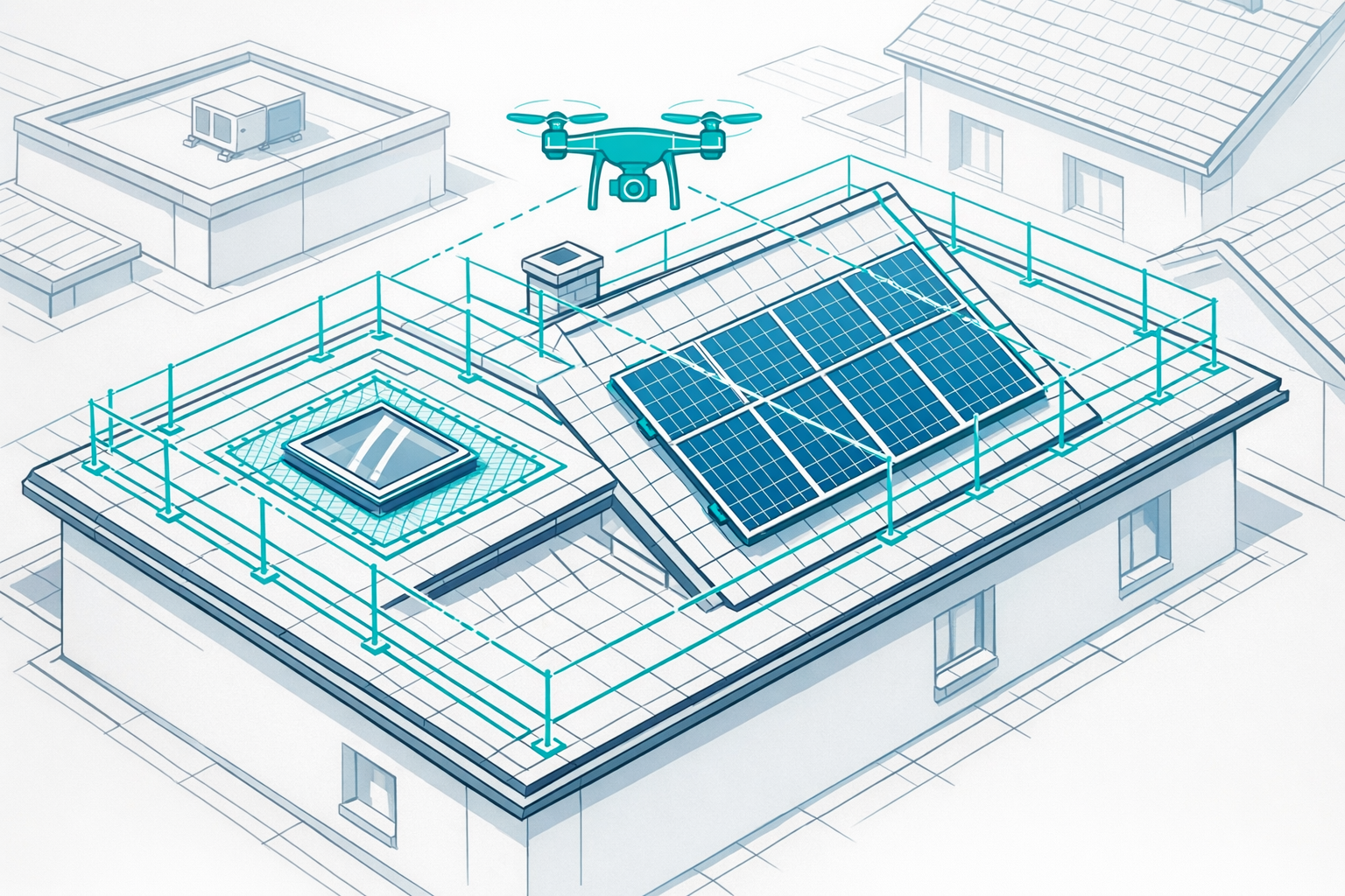
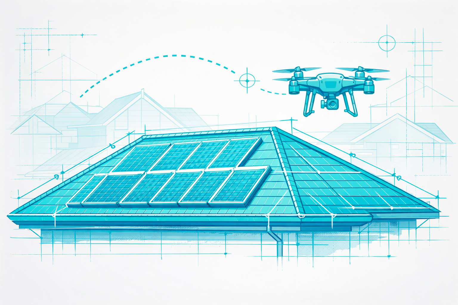
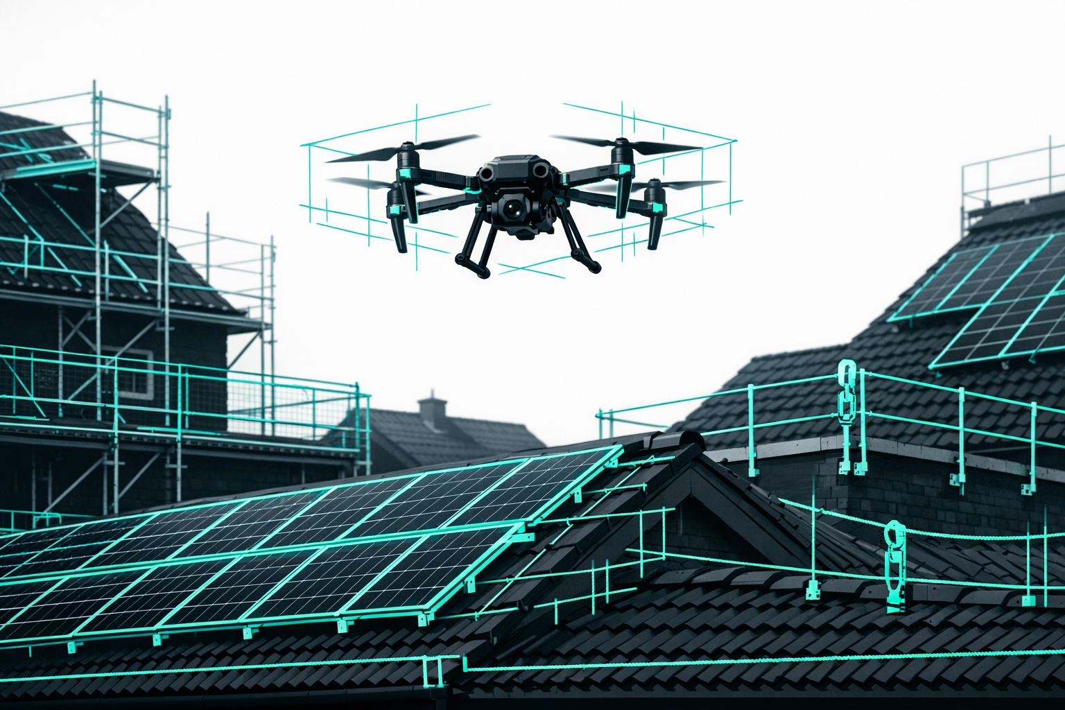
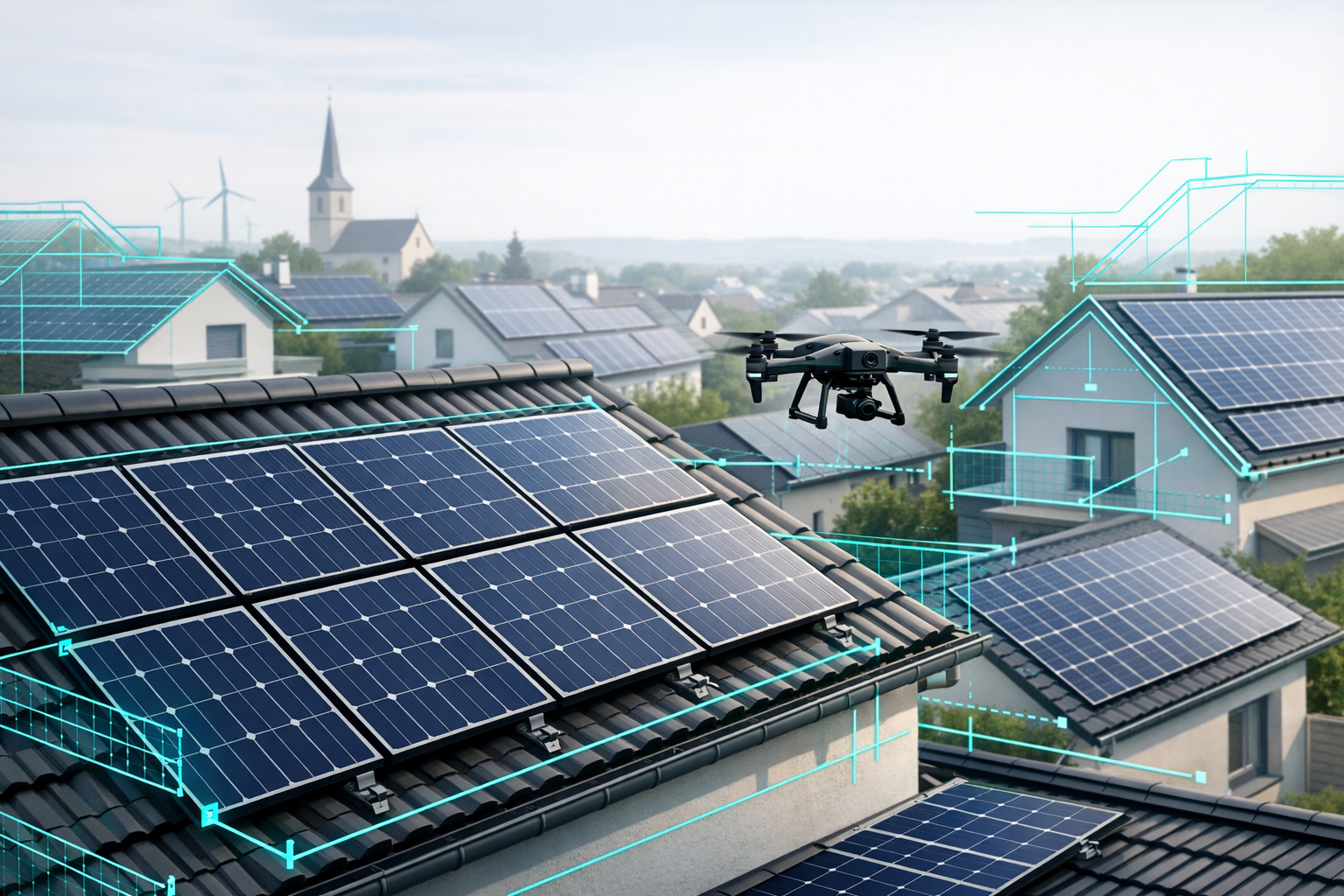
Drone imagery has now become a key component for PV planning and PV inspection: it provides precise data for rooftop and ground-mounted systems, increases safety, and measurably speeds up the workflow. With AI-powered 3D building modeling such as the Airteam Fusion platform, planning data is automatically generated from drone images.
In this guide you'll learn, step by step:
- which legal requirements will apply in Germany in 2026 for professional drone flights for PV planning and inspection
- which hardware & software make sense
- what a practical end-to-end workflow from flight planning to PV proposal looks like
- how to integrate thermal drone inspections into maintenance in line with relevant standards
- how to avoid common mistakes
Requirements: What you need before your first PV drone flight in 2026
Before you get started, these points should be clarified.
Legal requirements
- Understanding of the EU drone category "open" (A1/A2/A3) (see Step 2)
- UAS operator registration with the German Federal Aviation Office (LBA) with eID (UAS operator ID) for drones with a camera or over 250 g[2]
- EU competency certificate A1/A3 (the "small drone licence"), required for almost all professional use cases[3]
- EU remote pilot certificate A2, if you want to operate closer to uninvolved people and buildings (typical for rooftop PV in residential areas)[4]
- Liability insurance for drones (legally required)[5]
- Knowledge of UAS geozones, flight restrictions, and local bans (e.g. nature reserves, control zones, government districts)[6]
In Germany, liability insurance is legally required for every drone operation. Flights without special permits are usually allowed as long as all applicable requirements are met[7]
Technical requirements
- Survey-capable drone (e.g. RTK-capable model, high image resolution)
- For inspection and maintenance: thermal camera or thermal drone
- GPS/RTK system for centimetre-level positioning
- Sufficient batteries and memory cards
- Airteam account for upload, 3D building modeling, and data export
Software & workflow
- Access to the Airteam Fusion platform for automatic 3D measurements and planning data (e.g. for PV*SOL, Eturnity, PVcase, AutoCAD)
- PV design software suited to your company (e.g. PV*SOL, Eturnity)
- Standardised project folders and file naming (for RGB and thermal images)
- Clear internal responsibilities: Who designs, who flies, who evaluates?
Step 1: Clearly define your use case & project type
Define your use case before you begin.
Typical scenarios:
- PV planning on single-family homes
- Goal: rapid roof measurement, shading analysis, yield forecast
- Data: 3D roof model, eaves/ridge lines, dormers, roof structures, surroundings
- Commercial rooftop systems & industrial halls
- Goal: precise basis for surface area and structural analysis, cable routes, escape routes
- Data: highly accurate 3D models, load zones, flat-roof details
- Ground-mounted systems / solar parks
- Goal: layout, terrain model (topography), access roads, fence lines
- Recurring PV inspection & maintenance
- Goal: hotspots, underperformance, insulation issues, soiling
- Data: thermal orthomosaic, still images, defect classification
The clearer the use case, the easier it is to determine:
- the legal classification (A2 vs. A3, geozones)
- the right flight parameters (altitude, overlap, image mode)
- the right data formats (e.g. GLB, DXF, PV*SOL)
Step 2: Clarify the legal framework for PV drone flights
2.1 EU drone categories (open vs. specific)
For PV planning and inspection in Germany, the EU "open" category usually applies:
- Open category (OPEN)
- Drones < 25 kg, flight within visual line of sight (VLOS)
- Maximum 120 m above ground
- Subcategories: A1, A2, A3[6]
- Specific category (SPECIFIC)
- Higher-risk operations, e.g. BVLOS, dense overflight of crowds
- Operational authorisation / SORA required - rarely relevant for PV projects
Flights with drones up to 25 kg for building surveys and PV inspections generally fall under the "open category" A1-A3. Depending on the subcategory, an EU competency certificate and possibly a remote pilot certificate as well as UAS operator registration are required[6]
For rooftop and façade projects:
- A2: closer to buildings and people, provided minimum distances are maintained
- A3: larger safety distances, e.g. for ground-mounted systems away from residential areas
2.2 Licences, registration & insurance
For professional PV projects, the following are mandatory:
- UAS operator registration (eID)
- Online via the LBA[2]
- Attach the eID in a clearly legible way to every drone
- EU competency certificate A1/A3
- Online training + exam via the LBA or accredited providers[8]
- Mandatory for most drones > 250 g or with a camera
- EU remote pilot certificate A2
- Additional theory, practical self-training
- Required for flights with C2 drones close to people[4]
- Liability insurance
- Must explicitly cover drone operations (private or commercial)
- Operation is not permitted without insurance[5]
2.3 Flight zones, geozones & special rules by federal state
- UAS geozones: The public map shows areas that are permitted, restricted, or prohibited (e.g. control zones, industrial facilities)[9]
- Nature reserves, national parks, Natura 2000 areas: Strict restrictions, generally only flyable with special permits[10]
- In some cases there are state-specific procedures:
- Nine federal states (e.g. Bavaria) have transferred certain authorisations back to the LBA[11]
- Others still rely on their own regional aviation authorities or nature conservation agencies[12]
Practical tip:
Always use a reliable airspace app (e.g. DFS-DrohnenApp, Droniq) and additionally check the official UAS geozone map. Do not rely solely on the drone's geofencing - especially near airports, major roads, railway lines, or bodies of water.
2.4 Data protection & privacy
Data protection is especially critical for rooftop PV in residential areas:
- Over inhabited properties, camera drones are only permitted with the explicit consent of the owners or authorised users; identifiable individuals fall under GDPR rules[13]
- For professional use, the guidelines of the German Data Protection Conference for the use of camera drones by private companies apply[14]
- Avoid deliberately recording neighbouring properties - fly as much as possible only over the customer's site
- Keep written consent forms ready for multi-family buildings or commercial premises
Step 3: Choosing the right drone setup
3.1 Surveying (RGB / photogrammetry)
For PV planning, the following has proven effective:
- High-resolution RGB camera (at least 20 MP)
- Wide-angle lens with low distortion
- Automated flight routes (grid/mapping mode)
- RTK module for centimetre-level positioning
With Airteam, DIN-compliant 3D models can be created from standard image data. With GPS drones, Airteam achieves around 99.7% accuracy according to DIN SPEC 5452-5 (10 cm at 40 m flight altitude), and up to 99.9% with RTK and 1-3 cm deviation - ideal for structural analysis, PV layout, and scaffolding planning.
3.2 Thermal inspection (PV maintenance)
For inspections, you additionally need:
- Radiometric thermal camera (at least 640×512 px)
- Lens with a suitable ground sampling distance (GSD) for the system size
- Settings in line with IEC TS 62446-3 (sufficient irradiance, etc.)[15]
Drone-based PV thermography reduces inspection time from 3-5 hours to around 10 minutes per megawatt - up to 97% faster than manual checks
With Airteam you can link thermal images directly to the 3D model and use click-to-image navigation to inspect and document defects precisely.
3.3 Starter kits & building a fleet
Preconfigured starter kits with drone, accessories, training, and Airteam access are ideal for new adopters or teams. They ensure:
- aligned flight modes and parameters
- fast readiness for operation
- centralised support
Step 4: Flight planning for PV design
4.1 Site analysis & safety check
Before every flight:
- Check the object in a geoportal/app for airspace restrictions[16]
- Analyse roof shape, pitch, structures, and surroundings
- Choose take-off and landing zones (safe, with sufficient space)
- Brief the team (roles, emergency procedures)
4.2 Flight parameters for roof measurement
Proven settings:
- Flight altitude 35-50 m above roof edge (depending on lens)
- Front overlap 75-80%, side overlap at least 65%
- Grid pattern, plus oblique orbit shots for details
- Avoid major altitude changes during the flight for best processing results
Tip:
It's better to plan one focused mapping flight plus separate detail flights for connections or chimneys. This minimises blur and improves model quality.
4.3 Pre-flight checklist
- Weather: no rain, moderate wind (max. 8-10 m/s)
- Firmware & app up to date, RTH altitude set correctly
- Batteries charged, memory cards empty
- eID visible on the drone
- Licences & consent forms available
Step 5: Data capture & creating 3D models with Airteam
5.1 RGB imagery for PV planning
- Start the mapping flight
- Monitor the automated flight - priority: safety, not manual filming
- After landing, check the images (blur, raindrops, lens flare)
5.2 Upload & 3D building modeling
- Create a project in the Airteam Fusion platform (address, project type, notes)
- Upload images in a structured way (
Project_Date_RGB01) - Airteam automatically generates a 3D model and digital measurements
Airteam cuts effort by up to 90% compared to traditional site measurements, delivers centimetre-accurate results, and supports more than 15 export formats
Typical exports:
- PV*SOL / Eturnity data
- GLB/OBJ for 3D viewers
- DXF/DWG for CAD
- JSON for MF Dach or industry software
5.3 Create PV layout & proposal
With the exported data, you can use your PV software to:
- place module arrays (including suggestions around dormers/roof structures)
- run shading analysis
- design inverter and string configuration
- calculate yield simulations and financial performance
A 3D model helps you visually involve customers and answer questions directly. Companies that consistently work with digital measurements and 3D models report 23-38% higher proposal conversion rates
Further reading: For a step-by-step tutorial on PV planning with drones, see PV Planning with Drones: 97% Faster.
Step 6: Organising PV inspection & maintenance with drones
6.1 Planning inspection intervals
According to DIN EN IEC 62446-1 and industry recommendations:
- Small rooftop systems: technical checks every 2-4 years, more frequent visual inspections[17]
- Commercial and ground-mounted systems (>30 kWp): annual inspection is common, sometimes contractually required[18]
Drone thermography enables full module-level inspection.
Manual inspections often check only 10-25% of modules; with drones you can capture 100% of the panels
6.2 Thermal drone inspection
- Choose the time window
- System must be under load; stable irradiance, ideally around midday
- Target: irradiance ≥ 600 W/m², clear or uniformly overcast sky[15]
- Flight planning
- Fly parallel to the module rows at constant altitude
- Ensure sufficient overlap, focus on string-by-string coverage
- Capture & data transfer
- Record radiometric videos/stills
- Upload data together with RGB images to Airteam
- Analysis in Airteam
- Combine the 3D model & thermal data
- Use click-to-image navigation to investigate hotspots precisely
- Export reports for O&M, insurers, or manufacturers (IEC 62446-3 compliant)
Typical findings: Hotspots, PID, defective bypass diodes, soiling, partial shading, loose connectors[19]
Step 7: Documenting results & integrating them into your processes
Structured documentation is crucial for warranty, insurance, and follow-up projects.
7.1 For planning & proposals
- Use 3D models and screenshots in your proposal documents
- Export module layout, string plan, and inverter design as PDFs
- Provide roof measurements, areas, and slope/drainage data for structural engineers and scaffolding contractors
7.2 For inspection & maintenance
- Structure reports in line with IEC 62446-1/-3 (system data, measurement conditions, findings, actions)
- Clearly reference thermal images to modules/strings
- Compare recurring inspections to identify trends
With Airteam, you manage projects centrally and can provide exports for all trades. More than 5,000 companies have digitally measured and documented over 70,000 projects with Airteam - a clear sign that digital processes work in day-to-day operations.
Common mistakes - and how to avoid them
Mistake 1: Flight permissions not fully clarified
- No A2 certificate, missing owner consent, no documented geozone check
Solution:
- Keep licences up to date at all times
- For every project: a short protocol covering licences, eID, insurance, consents, and geozone check
Mistake 2: Wrong flight parameters for surveying
- Overlap too low, changing altitudes, incorrect camera angles - resulting in patchy 3D models
Solution:
- Define standard templates for mapping flights across the team
- Carry out test flights and set minimum standards
Mistake 3: Thermography without reference to standards
- Flights with insufficient irradiance, changing cloud cover, or incorrect emissivity settings
Solution:
- Know and apply IEC 62446-3
- Document inspection time, irradiance, and weather conditions
Mistake 4: Not reusing data
- 3D models used only for proposals, not integrated into maintenance or BIM
Solution:
- Choose data formats so that structural design, planning, and O&M all benefit directly
- Offer standardised inspection & maintenance packages to existing customers
Next steps: How to start professional PV drone planning in 2026
- Run a legal check
- Review licences (A1/A3, A2), eID, insurance, and geozone knowledge
- Standardise your technology
- Define drone setups (planning, thermography)
- Develop internal checklists for flights and data upload
- Run a pilot project with Airteam
- Survey 1-2 typical roofs or a solar park with a drone and Airteam
- Compare results with your previous methods (time, accuracy, error rate)
- Expand your services
- Offer PV planning, as-built surveys, roof/façade measurement, and thermal inspection as clearly defined services
Test the entire workflow - simply book a free live demo or use the Airteam platform directly for your own project.
FAQ: Frequently asked questions about PV planning & inspection with drones (Germany, 2026)
1. Do I need an A2 certificate for every drone?
No. What matters are the drone class, weight, and use case:
- Light C0 drones (<250 g and without special camera functions) usually don't require an A2 certificate.
- For typical surveying and inspection drones (C1/C2) in residential areas, the A2 remote pilot certificate is almost always required to fly legally and close to people[20].
If in doubt, check the manufacturer's class label and the LBA guidelines.
2. Can I inspect my customers' PV systems if no one is on site?
Yes, as long as all legal requirements are met:
- Written consent from the owner or operator (including a data protection clause)
- Clear definition of the flight area
- Respect data protection and privacy (do not overfly neighbouring properties)[13]
3. Is drone technology worthwhile for small roofs (<100 m²)?
Often yes. Especially for hard-to-access roofs you save time, increase safety, and get better planning data. With suitable flat-rate plans or credit models, the cost per project is attractive even for single-family homes.
4. How often should I have a PV system inspected by drone?
For commercial systems and solar parks, at least one annual thermal inspection is recommended; for small rooftop systems every 2-4 years or when anomalies occur.[18] Many insurers accept drone-based reports as proof of maintenance.
5. Should I fly myself or hire external pilots?
That depends on your business:
- Own drone & training pay off if you use them regularly and need short response times.
- External pilots make sense for one-off projects or demanding flights (city centres, large parks).
With Airteam you can do both: fly yourself and use cloud-based analysis, or tap into a network of experienced drone pilots.